Approximate Location Map
Large Map »
Latitude: 51.5375 / 51°32'14"N
Longitude: -0.9072 / 0°54'25"W
OS Eastings: 475891
OS Northings: 182630
OS Grid: SU758826
Mapcode National: GBR C4R.KG3
Mapcode Global: VHDWG.7M87
Plus Code: 9C3XG3PV+X4
Entry Name: Pavement Surface from 2 to 16
Listing Date: 28 October 1974
Grade: II
Source: Historic England
Source ID: 1047739
English Heritage Legacy ID: 246355
ID on this website: 101047739
Location: Henley-on-Thames, South Oxfordshire, RG9
County: Oxfordshire
District: South Oxfordshire
Civil Parish: Henley-on-Thames
Built-Up Area: Henley-on-Thames
Traditional County: Oxfordshire
Lieutenancy Area (Ceremonial County): Oxfordshire
Church of England Parish: Henley-on-Thames
Church of England Diocese: Oxford
Tagged with: Building
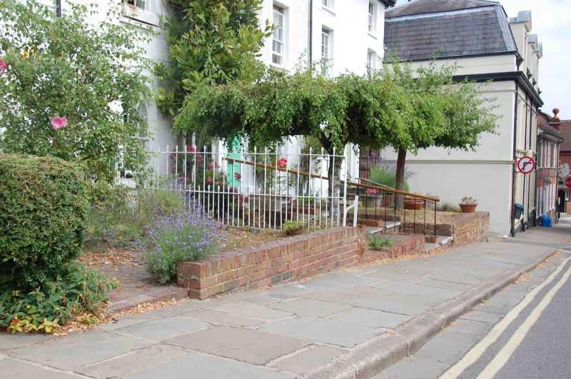
1. WEST STREET
5355 (North Side)
Pavement surface from
Nos 2 to 16 (even)
SU 7582 1/375
II GV
2.
C19 and earlier, pavement of stone flags.
The pavement surface from Nos 2 to 16 (even) forms a group with Nos 2
to 16 (even) and with the building opposite Nos 6 and 8.
Listing NGR: SU7588982640
External links are from the relevant listing authority and, where applicable, Wikidata. Wikidata IDs may be related buildings as well as this specific building. If you want to add or update a link, you will need to do so by editing the Wikidata entry.


Other nearby listed buildings
