Approximate Location Map
Large Map »
Latitude: 52.6371 / 52°38'13"N
Longitude: 1.2934 / 1°17'36"E
OS Eastings: 622939
OS Northings: 309462
OS Grid: TG229094
Mapcode National: GBR W8Z.7R
Mapcode Global: WHMTF.VZ27
Plus Code: 9F43J7PV+R9
Entry Name: 71, Botolph Street
Listing Date: 8 April 1986
Grade: II*
Source: Historic England
Source ID: 1051372
English Heritage Legacy ID: 228825
ID on this website: 101051372
Location: Coslany, Norwich, Norfolk, NR3
County: Norfolk
District: Norwich
Electoral Ward/Division: Mancroft
Parish: Non Civil Parish
Built-Up Area: Norwich
Traditional County: Norfolk
Lieutenancy Area (Ceremonial County): Norfolk
Church of England Parish: New Catton St Luke with St Augustine
Church of England Diocese: Norwich
Tagged with: Building
TG 2309 SE BOTOLPH STREET
(north-east side)
10/86
- No. 71
- II*
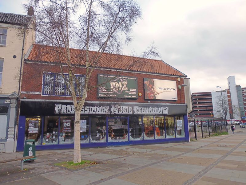
C20 shop of no interest. Beneath this is a C15 brick built undercroft
Single order, chamfered diagonal and cross ribs with side chambers
extending beneath pavement. The undercroft is graded II* as one of
an important group within the City walls.
Listing NGR: TG2293909461
External links are from the relevant listing authority and, where applicable, Wikidata. Wikidata IDs may be related buildings as well as this specific building. If you want to add or update a link, you will need to do so by editing the Wikidata entry.


Other nearby listed buildings
