Approximate Location Map
Large Map »
Latitude: 51.4705 / 51°28'13"N
Longitude: -0.2447 / 0°14'40"W
OS Eastings: 522016
OS Northings: 176075
OS Grid: TQ220760
Mapcode National: GBR 9P.30G
Mapcode Global: VHGR3.Q90K
Plus Code: 9C3XFQC4+54
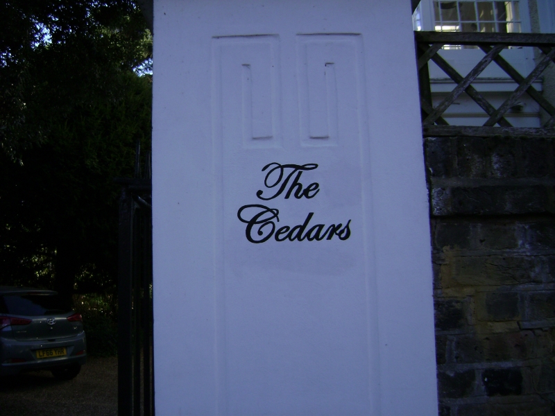
Entry Name: The Cedars
Listing Date: 25 June 1983
Grade: II
Source: Historic England
Source ID: 1065388
English Heritage Legacy ID: 205559
ID on this website: 101065388
Location: Barnes, Richmond upon Thames, London, SW13
County: London
District: Richmond upon Thames
Electoral Ward/Division: Mortlake and Barnes Common
Parish: Non Civil Parish
Built-Up Area: Richmond upon Thames
Traditional County: Surrey
Lieutenancy Area (Ceremonial County): Greater London
Church of England Parish: Barnes St Mary
Church of England Diocese: Southwark
Tagged with: Building
1.
5028 MILL HILL ROAD
The Cedars
TQ 2276 15/5
II
2.
Late C18. Three storey house, 5 windows wide. Roughcast, parapeted front. Roof
not visible. Central prostyle Doric porch, with glazed conservatory addition over.
Square headed sash windows with glazing bars.
Listing NGR: TQ2201676075
External links are from the relevant listing authority and, where applicable, Wikidata. Wikidata IDs may be related buildings as well as this specific building. If you want to add or update a link, you will need to do so by editing the Wikidata entry.


Other nearby listed buildings
