Approximate Location Map
Large Map »
Latitude: 51.3848 / 51°23'5"N
Longitude: 0.3812 / 0°22'52"E
OS Eastings: 565792
OS Northings: 167775
OS Grid: TQ657677
Mapcode National: GBR NNC.165
Mapcode Global: VHJLR.KGD8
Plus Code: 9F3299MJ+WF
Entry Name: Sole Street House
Listing Date: 21 November 1966
Grade: II
Source: Historic England
Source ID: 1067728
English Heritage Legacy ID: 356736
ID on this website: 101067728
Location: Sole Street, Gravesham, Kent, DA12
County: Kent
District: Gravesham
Civil Parish: Cobham
Built-Up Area: Sole Street
Traditional County: Kent
Lieutenancy Area (Ceremonial County): Kent
Church of England Parish: Cobham St Mary Magdalene
Church of England Diocese: Rochester
Tagged with: House
TQ 66 NE COBHAM SOLE STREET
5/10 (east side)
21.11.66
Sole Street House
II
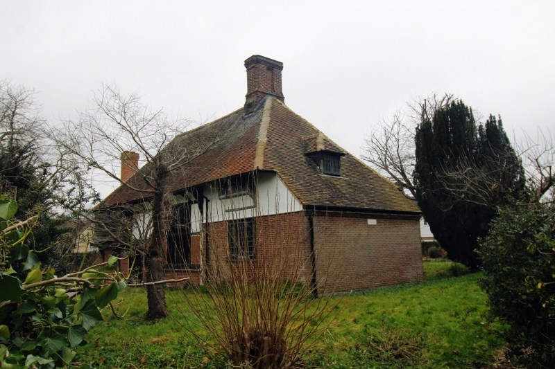
Late C18. Red brick with grey headers. Stone string course and parapet. Wide sash
windows with mullions and glazing bars. Door up 3 steps with engaged columns,
pediment, and semi-circular fanlight. Interior much altered.
Listing NGR: TQ6579267775
External links are from the relevant listing authority and, where applicable, Wikidata. Wikidata IDs may be related buildings as well as this specific building. If you want to add or update a link, you will need to do so by editing the Wikidata entry.


Other nearby listed buildings
