Approximate Location Map
Large Map »
Latitude: 51.1873 / 51°11'14"N
Longitude: 0.7358 / 0°44'8"E
OS Eastings: 591280
OS Northings: 146676
OS Grid: TQ912466
Mapcode National: GBR RW4.DVY
Mapcode Global: VHKKC.PFV5
Plus Code: 9F325PPP+W8
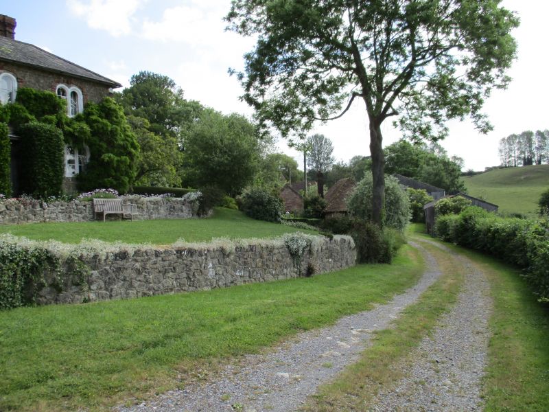
Entry Name: Greenhill House
Listing Date: 10 October 1980
Grade: II
Source: Historic England
Source ID: 1071515
English Heritage Legacy ID: 180827
ID on this website: 101071515
Location: Egerton, Ashford, Kent, TN27
County: Kent
District: Ashford
Civil Parish: Egerton
Traditional County: Kent
Lieutenancy Area (Ceremonial County): Kent
Tagged with: House
1.
5272 EGERTON GREEN HILL
Greenhill House
TQ 94 NW 10/172
II
2.
C19. Two storeys Kentish ragstone with red brick quoins and dressings. Three
Dering windows, double on first floor and triple on ground floor. Simple doorcase
with flat weather hood.
Listing NGR: TQ9128046676
External links are from the relevant listing authority and, where applicable, Wikidata. Wikidata IDs may be related buildings as well as this specific building. If you want to add or update a link, you will need to do so by editing the Wikidata entry.


Other nearby listed buildings
