Approximate Location Map
Large Map »
Latitude: 51.5956 / 51°35'44"N
Longitude: -0.072 / 0°4'19"W
OS Eastings: 533641
OS Northings: 190286
OS Grid: TQ336902
Mapcode National: GBR H9.4J3
Mapcode Global: VHGQM.P5S5
Plus Code: 9C3XHWWH+65
Entry Name: 15A, Bruce Grove N17
Listing Date: 10 May 1974
Grade: II
Source: Historic England
Source ID: 1079261
English Heritage Legacy ID: 201324
ID on this website: 101079261
Location: Tottenham, Haringey, London, N17
County: London
District: Haringey
Electoral Ward/Division: Bruce Grove
Parish: Non Civil Parish
Built-Up Area: Haringey
Traditional County: Middlesex
Lieutenancy Area (Ceremonial County): Greater London
Church of England Parish: All Hallows Tottenham
Church of England Diocese: London
Tagged with: Building
1.
4415 BRUCE GROVE N17
(South West Side)
Tottenham
-----------------
No 15A
TO 3390 17/27
II GV
2.
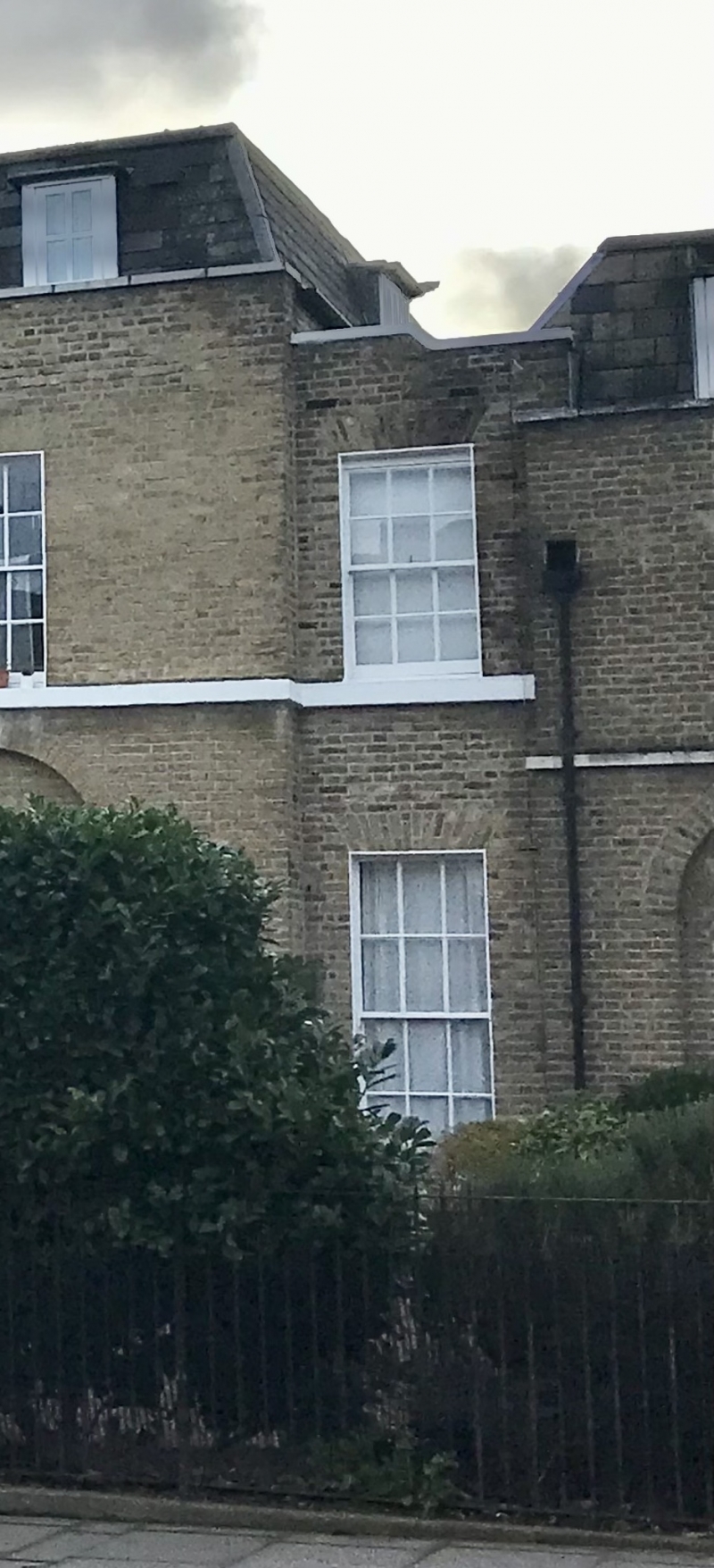
Small, 2 storey, 1 window infill building of stock brick with parapet. Its rear
parts include some of No 15 and it is included for that reason and for group value.
Nos 1 to 16 (consec) form a group.
Listing NGR: TQ3364190285
External links are from the relevant listing authority and, where applicable, Wikidata. Wikidata IDs may be related buildings as well as this specific building. If you want to add or update a link, you will need to do so by editing the Wikidata entry.


Other nearby listed buildings
