Approximate Location Map
Large Map »
Latitude: 51.4554 / 51°27'19"N
Longitude: -0.1111 / 0°6'39"W
OS Eastings: 531338
OS Northings: 174625
OS Grid: TQ313746
Mapcode National: GBR GR.0P2
Mapcode Global: VHGR6.1P45
Plus Code: 9C3XFV4Q+5H
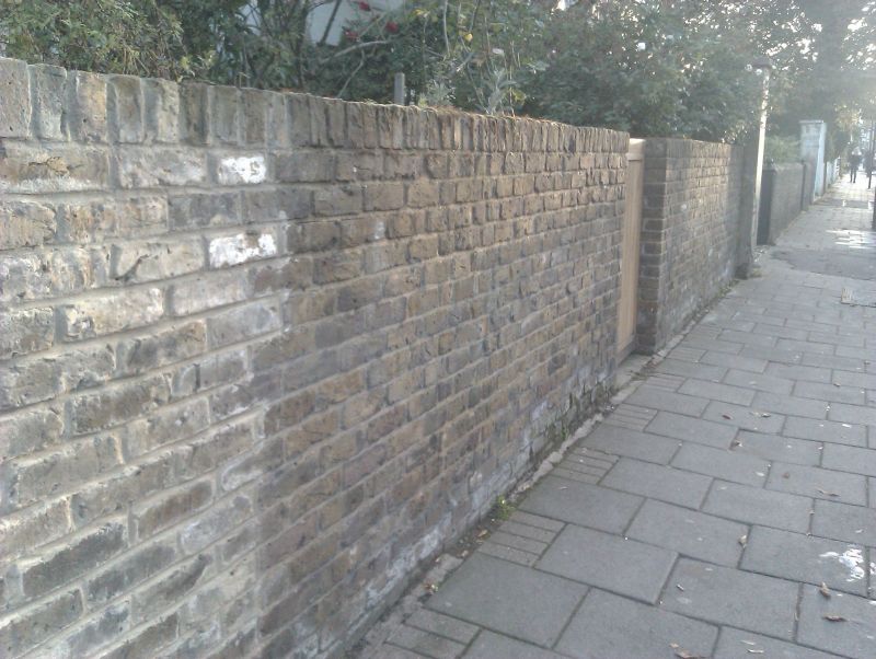
Entry Name: Wall to Right Front of Number 64
Listing Date: 27 March 1981
Grade: II
Source: Historic England
Source ID: 1080510
English Heritage Legacy ID: 204057
ID on this website: 101080510
Location: Brixton, Lambeth, London, SW2
County: London
District: Lambeth
Electoral Ward/Division: Herne Hill
Parish: Non Civil Parish
Built-Up Area: Lambeth
Traditional County: Surrey
Lieutenancy Area (Ceremonial County): Greater London
Church of England Parish: Brixton St Matthew with St Jude
Church of England Diocese: Southwark
Tagged with: Wall
BRIXTON WATER LANE SW2
1. (south side)
5023
Wall to right front of
go 64
TQ 3174 23/106
II
2.
Brick wall with flat buttresses ramped up to house. Tall pier at outer end.
Listing NGR: TQ3133874625
External links are from the relevant listing authority and, where applicable, Wikidata. Wikidata IDs may be related buildings as well as this specific building. If you want to add or update a link, you will need to do so by editing the Wikidata entry.


Other nearby listed buildings
