Approximate Location Map
Large Map »
Latitude: 51.255 / 51°15'17"N
Longitude: -0.9359 / 0°56'9"W
OS Eastings: 474353
OS Northings: 151182
OS Grid: SU743511
Mapcode National: GBR C86.B5T
Mapcode Global: VHDXS.QQL9
Plus Code: 9C3X7337+XJ
Entry Name: Charltons
Listing Date: 26 June 1987
Grade: II
Source: Historic England
Source ID: 1092171
English Heritage Legacy ID: 136979
ID on this website: 101092171
Location: Odiham, Hart, Hampshire, RG29
County: Hampshire
District: Hart
Civil Parish: Odiham
Built-Up Area: Odiham
Traditional County: Hampshire
Lieutenancy Area (Ceremonial County): Hampshire
Church of England Parish: Odiham All Saints
Church of England Diocese: Winchester
Tagged with: Building
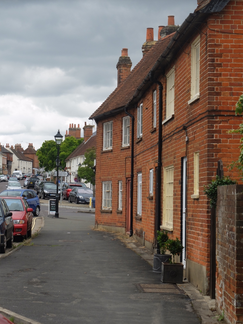
SU 73-7450 & 73-7451 ODIHAM HIGH STREET
(north side)
17/41
No 2
- (Charltons)
- II
c1800. 2 storeys, 2 windows. Red tile roof, brick dentil eaves. Rendered
walling. Sashes above plain shopfront, of 2 bays with central door and side
pilasters. Included for visual importance at the east end of the High Street,
in the angle between the Farnham and London Roads.
Listing NGR: SU7436251184
External links are from the relevant listing authority and, where applicable, Wikidata. Wikidata IDs may be related buildings as well as this specific building. If you want to add or update a link, you will need to do so by editing the Wikidata entry.


Other nearby listed buildings
