Approximate Location Map
Large Map »
Latitude: 51.4673 / 51°28'2"N
Longitude: -0.9784 / 0°58'42"W
OS Eastings: 471058
OS Northings: 174754
OS Grid: SU710747
Mapcode National: GBR QK9.BG
Mapcode Global: VHDWT.0D30
Plus Code: 9C3XF28C+WJ
Entry Name: Buckside
Listing Date: 14 December 1978
Grade: II
Source: Historic England
Source ID: 1113444
English Heritage Legacy ID: 38859
ID on this website: 101113444
Location: Caversham, Reading, Berkshire, RG4
County: Reading
Electoral Ward/Division: Caversham
Parish: Non Civil Parish
Built-Up Area: Reading
Traditional County: Oxfordshire
Lieutenancy Area (Ceremonial County): Berkshire
Church of England Parish: Caversham Thameside and Mapledurham
Church of England Diocese: Oxford
Tagged with: Building
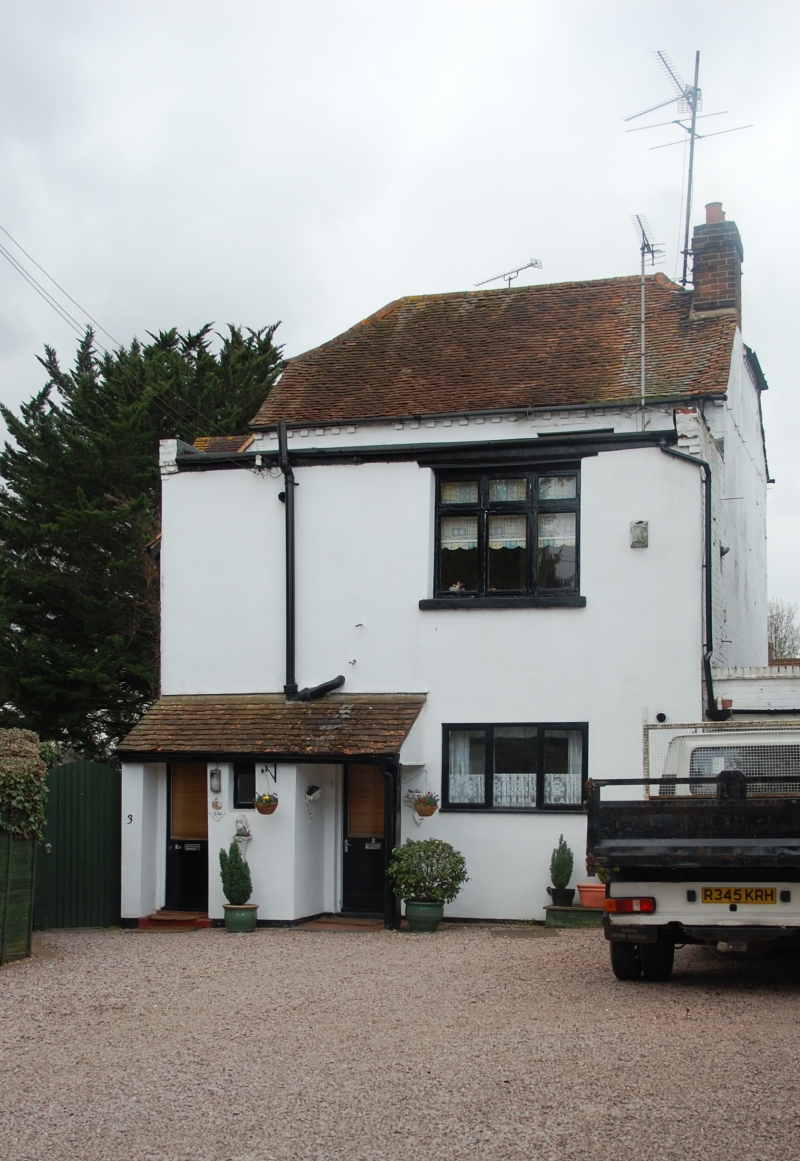
CHURCH ROAD
1.
5128
Buckside
Caversham
No 2 Buckside
SU 7174 11/443
II
Mid C18. 2 storeys. Fainted and rendered brick with brick block eaves cornice
to old tile hipped roof. 2 windows. River front much altered and extended.
Listing NGR: SU7105874754
External links are from the relevant listing authority and, where applicable, Wikidata. Wikidata IDs may be related buildings as well as this specific building. If you want to add or update a link, you will need to do so by editing the Wikidata entry.


Other nearby listed buildings
