Approximate Location Map
Large Map »
Latitude: 52.2503 / 52°15'1"N
Longitude: -0.4812 / 0°28'52"W
OS Eastings: 503782
OS Northings: 262433
OS Grid: TL037624
Mapcode National: GBR G0L.Z0N
Mapcode Global: VHFPN.LPZS
Plus Code: 9C4X7G29+4G
Entry Name: 22, High Street
Listing Date: 4 June 1974
Grade: II
Source: Historic England
Source ID: 1114851
English Heritage Legacy ID: 36372
ID on this website: 101114851
Location: Riseley, Bedford, Bedfordshire, MK44
County: Bedford
Civil Parish: Riseley
Built-Up Area: Riseley
Traditional County: Bedfordshire
Lieutenancy Area (Ceremonial County): Bedfordshire
Church of England Parish: Riseley
Church of England Diocese: St.Albans
Tagged with: Building
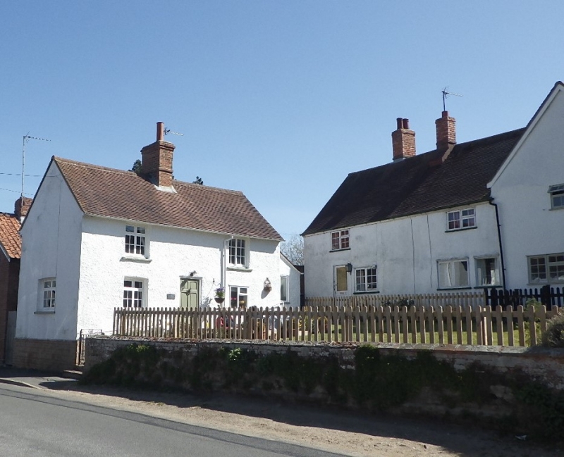
TL 0362 RISELEY HIGH STREET (South-East Side)
13/160 No. 22
4.6.74
GV II
Cottage. C19. Colour washed rough cast over clay lump construction. Slate roof.
2-room plan, 2 storeys, central red brick ridge stack serving back-to-back hearth.
S elevation: central C20 front door, flanked by 2 windows, LH one and 2 first floor
ones being 2-light horizontal sashes with glazing bars. Gable end to road.
Listing NGR: TL0378262433
External links are from the relevant listing authority and, where applicable, Wikidata. Wikidata IDs may be related buildings as well as this specific building. If you want to add or update a link, you will need to do so by editing the Wikidata entry.


Other nearby listed buildings
