Approximate Location Map
Large Map »
Latitude: 50.7994 / 50°47'57"N
Longitude: -3.1905 / 3°11'25"W
OS Eastings: 316199
OS Northings: 100654
OS Grid: ST161006
Mapcode National: GBR LX.YX4Y
Mapcode Global: FRA 466Z.GVN
Plus Code: 9C2RQRX5+PR
Entry Name: Three Tuns Inn
Listing Date: 21 March 1972
Grade: II
Source: Historic England
Source ID: 1116908
English Heritage Legacy ID: 442661
ID on this website: 101116908
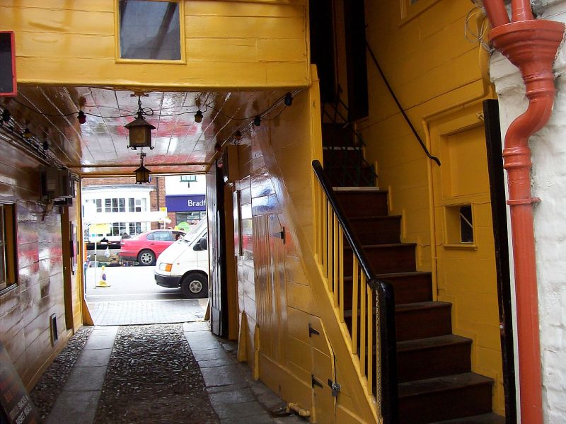
1. HIGH STREET
1228 (North Side)
No 133
(Three Tuns Inn)
ST 1600 1/45
II GV
2.
Late C18 or early C19, 2 storey, roughcast front, 2 flush Maine sash windows
now with centre glazing bars only, 1 good splayed bay, ground floor, left,
now with centre glazing bars only, with moulded cornice, Wide centre carriage
way through.
Nos 131 to 13 (odd) form a group.
Listing NGR: ST1619900654
External links are from the relevant listing authority and, where applicable, Wikidata. Wikidata IDs may be related buildings as well as this specific building. If you want to add or update a link, you will need to do so by editing the Wikidata entry.


Other nearby listed buildings
