Approximate Location Map
Large Map »
Latitude: 51.6921 / 51°41'31"N
Longitude: 0.4418 / 0°26'30"E
OS Eastings: 568868
OS Northings: 202080
OS Grid: TL688020
Mapcode National: GBR NJK.Y88
Mapcode Global: VHJK7.LQXQ
Plus Code: 9F32MCRR+RP
Entry Name: Whites Bridge
Listing Date: 19 June 1975
Grade: II
Source: Historic England
Source ID: 1122033
English Heritage Legacy ID: 112890
ID on this website: 101122033
Location: Chelmsford, Essex, CM4
County: Essex
District: Chelmsford
Civil Parish: Margaretting
Traditional County: Essex
Lieutenancy Area (Ceremonial County): Essex
Church of England Parish: Margaretting St Margaret
Church of England Diocese: Chelmsford
Tagged with: Bridge Road bridge
MARGARETTING MALDON ROAD
1.
5213
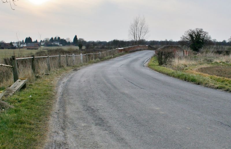
Whites Bridge
TL 60 SE 12/389
II
2.
A plain red brick C18 bridge of 3 arches with stone capping to the parapet. On
the north side the central arch has a stone keystone inscribed "County 1770".
Listing NGR: TL6886802080
External links are from the relevant listing authority and, where applicable, Wikidata. Wikidata IDs may be related buildings as well as this specific building. If you want to add or update a link, you will need to do so by editing the Wikidata entry.


Other nearby listed buildings
