Approximate Location Map
Large Map »
Latitude: 51.5377 / 51°32'15"N
Longitude: -2.3917 / 2°23'30"W
OS Eastings: 372926
OS Northings: 182165
OS Grid: ST729821
Mapcode National: GBR 0NJ.G57
Mapcode Global: VH95T.HMF1
Plus Code: 9C3VGJQ5+38
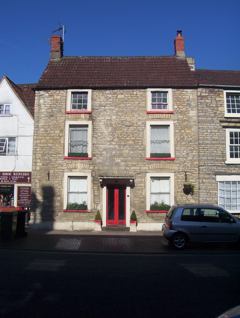
Entry Name: 12, Horse Street
Listing Date: 29 July 1983
Grade: II
Source: Historic England
Source ID: 1136016
English Heritage Legacy ID: 34145
ID on this website: 101136016
Location: Chipping Sodbury, South Gloucestershire, BS37
County: South Gloucestershire
Civil Parish: Sodbury
Built-Up Area: Chipping Sodbury
Traditional County: Gloucestershire
Lieutenancy Area (Ceremonial County): Gloucestershire
Church of England Parish: Chipping Sodbury St John the Baptist
Church of England Diocese: Gloucester
Tagged with: Building
ST 7282 SE SODBURY HORSE STREET
5/160 (west side)
No 12
GV
II
Early C19. Rendered, Double Roman tile roof. Three storeys; 2 windows, sashes in
plain painted stone surrounds. Modern door in plain painted stone surround has heavy
flat stone hood on brackets.
Listing NGR: ST7292682165
External links are from the relevant listing authority and, where applicable, Wikidata. Wikidata IDs may be related buildings as well as this specific building. If you want to add or update a link, you will need to do so by editing the Wikidata entry.


Other nearby listed buildings
