Approximate Location Map
Large Map »
Latitude: 50.2159 / 50°12'57"N
Longitude: -5.4774 / 5°28'38"W
OS Eastings: 152017
OS Northings: 40881
OS Grid: SW520408
Mapcode National: GBR DXV3.PTB
Mapcode Global: VH12F.0TNX
Plus Code: 9C2P6G8F+82
Entry Name: 77 and 79, Back Road
Listing Date: 22 December 1972
Grade: II
Source: Historic England
Source ID: 1143391
English Heritage Legacy ID: 68926
ID on this website: 101143391
Location: St Ives, Cornwall, TR26
County: Cornwall
Civil Parish: St. Ives
Built-Up Area: St Ives
Traditional County: Cornwall
Lieutenancy Area (Ceremonial County): Cornwall
Church of England Parish: St Ives
Church of England Diocese: Truro
Tagged with: Building
BACK ROAD
1. (North Side)
1587 ------------
No 77 and 79
SW 54 SW 1/30
II GV
2.
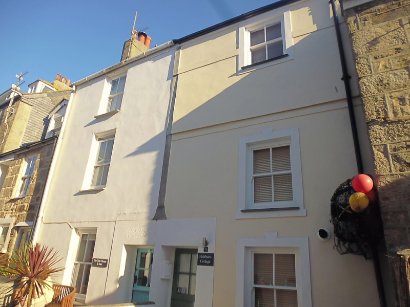
Early-mid C19. Stucco and pebble-dash. Three storeys. Two widely spaced
sash windows without glazing bars. Two central doorways, Slate roof.
Hipped dormer. Slate hung rear elevation to St. Eia Street. Group value
only.
The listed buildings from No 65 to No 93A form a group.
Listing NGR: SW5201740881
External links are from the relevant listing authority and, where applicable, Wikidata. Wikidata IDs may be related buildings as well as this specific building. If you want to add or update a link, you will need to do so by editing the Wikidata entry.


Other nearby listed buildings
