Approximate Location Map
Large Map »
Latitude: 50.2132 / 50°12'47"N
Longitude: -5.4808 / 5°28'50"W
OS Eastings: 151764
OS Northings: 40600
OS Grid: SW517406
Mapcode National: GBR DXV3.VNV
Mapcode Global: VH12D.YWDX
Plus Code: 9C2P6G79+7M
Entry Name: 4, Back Street
Listing Date: 22 December 1972
Grade: II
Source: Historic England
Source ID: 1143396
English Heritage Legacy ID: 68935
ID on this website: 101143396
Location: St Ives, Cornwall, TR26
County: Cornwall
Civil Parish: St. Ives
Built-Up Area: St Ives
Traditional County: Cornwall
Lieutenancy Area (Ceremonial County): Cornwall
Church of England Parish: St Ives
Church of England Diocese: Truro
Tagged with: Building
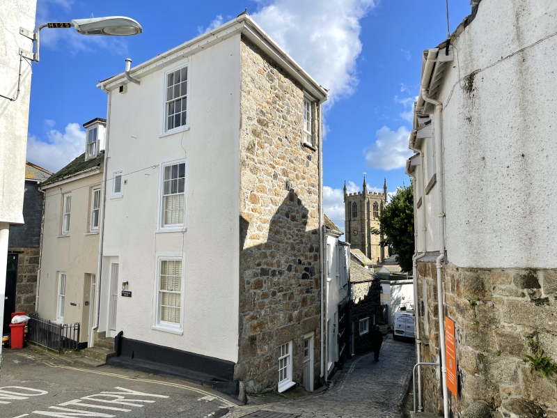
BACK STREET
1. -----------
1587 No 4
SW 54 SW 1/38
II
2.
Early C19. Pebbled dash front to tall granite rubble building, slate hung
south wall. Three storeys, one window, sashes with glazing bars. Door
on left with narrow rectangular fanlight. Over-hlangiqg eaves, slate pyramid
roof.
Listing NGR: SW5176440600
External links are from the relevant listing authority and, where applicable, Wikidata. Wikidata IDs may be related buildings as well as this specific building. If you want to add or update a link, you will need to do so by editing the Wikidata entry.


Other nearby listed buildings
