Approximate Location Map
Large Map »
Latitude: 51.6796 / 51°40'46"N
Longitude: 0.4048 / 0°24'17"E
OS Eastings: 566354
OS Northings: 200604
OS Grid: TL663006
Mapcode National: GBR NJQ.M4S
Mapcode Global: VHJKD.Y1VS
Plus Code: 9F32MCH3+RW
Entry Name: Margaretting Hall
Listing Date: 19 June 1975
Grade: II
Source: Historic England
Source ID: 1152104
English Heritage Legacy ID: 112880
ID on this website: 101152104
Location: Chelmsford, Essex, CM4
County: Essex
District: Chelmsford
Civil Parish: Margaretting
Traditional County: Essex
Lieutenancy Area (Ceremonial County): Essex
Church of England Parish: Margaretting St Margaret
Church of England Diocese: Chelmsford
Tagged with: House
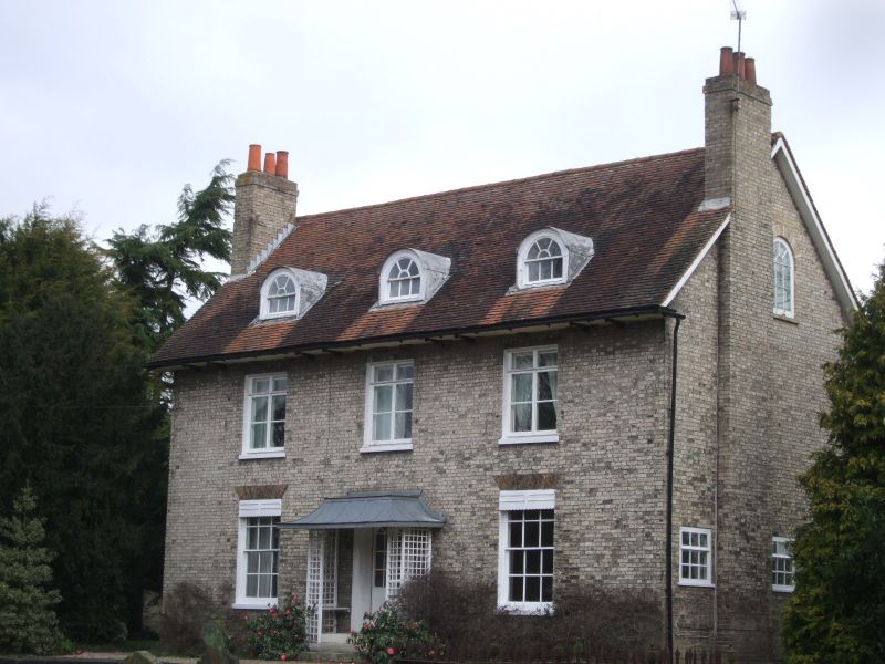
1. MARGARETTING CHURCH BANE
5213
Margaretting Hall
TL 60 SE 12/773
II
2.
An early Cl9 red brick house, 2 storeys. 3 window range, double-hung sashes with
glazing bars, in painted reveals. A central doorway has pilasters and a cornice.
Roof slate, hipped.
Listing NGR: TL6635400604
External links are from the relevant listing authority and, where applicable, Wikidata. Wikidata IDs may be related buildings as well as this specific building. If you want to add or update a link, you will need to do so by editing the Wikidata entry.


Other nearby listed buildings
