Approximate Location Map
Large Map »
Latitude: 50.6075 / 50°36'27"N
Longitude: -1.9556 / 1°57'20"W
OS Eastings: 403235
OS Northings: 78648
OS Grid: SZ032786
Mapcode National: GBR 459.Y2V
Mapcode Global: FRA 67SG.HY4
Plus Code: 9C2WJ25V+2P
Entry Name: 4, Cliff Place
Listing Date: 21 March 1983
Grade: II
Source: Historic England
Source ID: 1152242
English Heritage Legacy ID: 108170
ID on this website: 101152242
Location: Swanage, Dorset, BH19
County: Dorset
Civil Parish: Swanage
Built-Up Area: Swanage
Traditional County: Dorset
Lieutenancy Area (Ceremonial County): Dorset
Church of England Parish: Swanage St Mary the Virgin
Church of England Diocese: Salisbury
Tagged with: Building
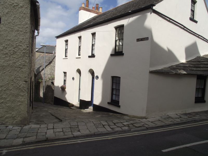
CLIFF PLACE
1.
5190
No 4
SZ 0378 NW 5/44
II GV
2.
Probably C18. Traditional Purbeck cottage. Purbeck Stone walls and roof. Two
storeys. Modern casement windows. Ledged door. RCHM Monument 34.
Listing NGR: SZ0323578648
External links are from the relevant listing authority and, where applicable, Wikidata. Wikidata IDs may be related buildings as well as this specific building. If you want to add or update a link, you will need to do so by editing the Wikidata entry.


Other nearby listed buildings
