Approximate Location Map
Large Map »
Latitude: 51.9338 / 51°56'1"N
Longitude: -0.5959 / 0°35'45"W
OS Eastings: 496632
OS Northings: 227076
OS Grid: SP966270
Mapcode National: GBR F30.L68
Mapcode Global: VHFR4.MNBD
Plus Code: 9C3XWCM3+GJ
Entry Name: The Lodge
Listing Date: 26 September 1980
Grade: II
Source: Historic England
Source ID: 1158633
English Heritage Legacy ID: 35984
ID on this website: 101158633
Location: Church End, Central Bedfordshire, LU7
County: Central Bedfordshire
Civil Parish: Hockliffe
Traditional County: Bedfordshire
Lieutenancy Area (Ceremonial County): Bedfordshire
Church of England Parish: Hockliffe
Church of England Diocese: St.Albans
Tagged with: Gatehouse
1.
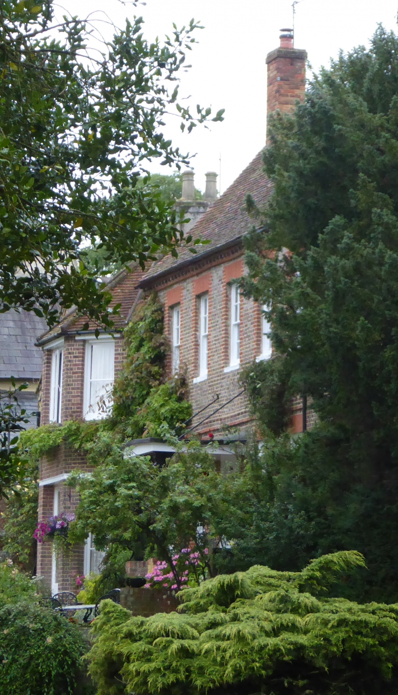
5125 HOCKLIFFE CHURCH END: CHURCH LANE
The Lodge
SP 9627 10/155
II
2.
C18. Grey brick with red brick dressings, Old clay tile roof. Two storeys.
Brick modillion cornice. First floor band. Five sashes in reveals with flat arches.
Moulded doorhood.
Listing NGR: SP9663227076
External links are from the relevant listing authority and, where applicable, Wikidata. Wikidata IDs may be related buildings as well as this specific building. If you want to add or update a link, you will need to do so by editing the Wikidata entry.


Other nearby listed buildings
