Approximate Location Map
Large Map »
Latitude: 51.0605 / 51°3'37"N
Longitude: -1.3162 / 1°18'58"W
OS Eastings: 448017
OS Northings: 129244
OS Grid: SU480292
Mapcode National: GBR 861.J1C
Mapcode Global: FRA 8649.T8R
Plus Code: 9C3W3M6M+6G
Entry Name: Wall of Symonds House
Listing Date: 14 January 1974
Grade: II
Source: Historic England
Source ID: 1174095
English Heritage Legacy ID: 144869
ID on this website: 101174095
Location: The Close, Winchester, Hampshire, SO23
County: Hampshire
District: Winchester
Electoral Ward/Division: St Michael
Parish: Non Civil Parish
Built-Up Area: Winchester
Traditional County: Hampshire
Lieutenancy Area (Ceremonial County): Hampshire
Church of England Parish: Winchester St Lawrence with St Swithun-upon-Kingsgate
Church of England Diocese: Winchester
Tagged with: Wall
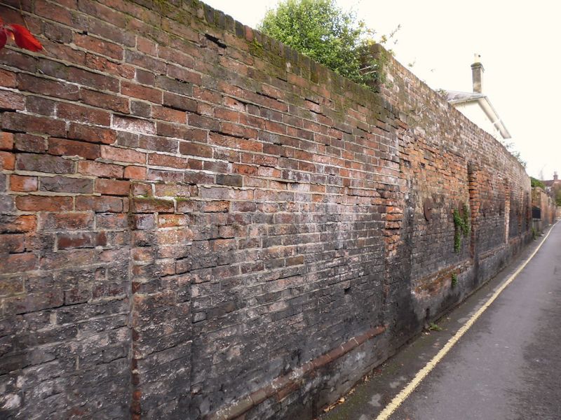
SYMONDS STREET
1.
1833
Wall of Symonds House
SU 4829 SW 6/269A
II
2.
Early C19, red brick. Graded for group value.
Listing NGR: SU4800229225
External links are from the relevant listing authority and, where applicable, Wikidata. Wikidata IDs may be related buildings as well as this specific building. If you want to add or update a link, you will need to do so by editing the Wikidata entry.


Other nearby listed buildings
