Approximate Location Map
Large Map »
Latitude: 52.1211 / 52°7'16"N
Longitude: -2.5581 / 2°33'29"W
OS Eastings: 361882
OS Northings: 247125
OS Grid: SO618471
Mapcode National: GBR FS.8J2X
Mapcode Global: VH85C.LYZB
Plus Code: 9C4V4CCR+CP
Entry Name: Churchyard Cross South East of Church
Listing Date: 12 April 1973
Grade: II
Source: Historic England
Source ID: 1177808
English Heritage Legacy ID: 151260
ID on this website: 101177808
Location: St Mary's Church, Much Cowarne, County of Herefordshire, HR1
County: County of Herefordshire
Civil Parish: Much Cowarne
Traditional County: Herefordshire
Lieutenancy Area (Ceremonial County): Herefordshire
Church of England Parish: Much Cowarne
Church of England Diocese: Hereford
Tagged with: Churchyard cross
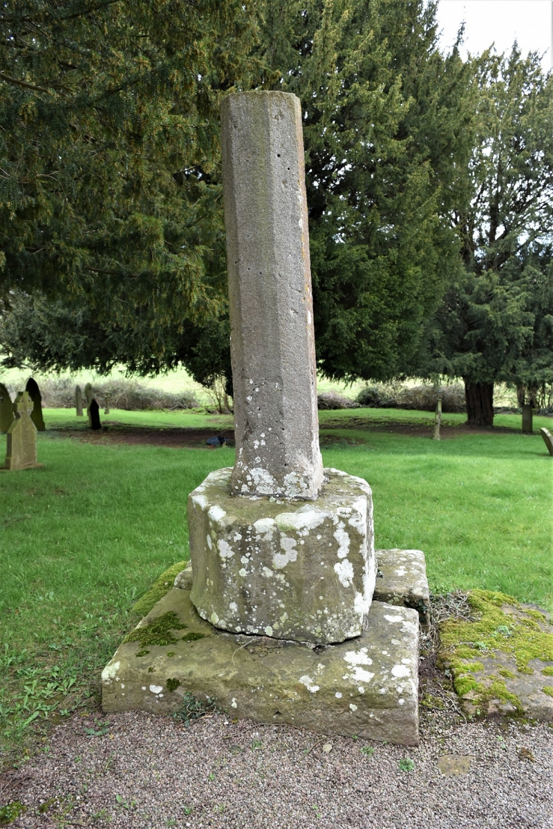
1.
1962 MUCH COWARNE MUCH COWARNE
Churchyard Cross
South-east of Church
SO 64 NW 17/270
II
2.
C14/15 octagonal base and part of octagonal shaft. RCHM volume II, page
59.
Listing NGR: SO6188247125
External links are from the relevant listing authority and, where applicable, Wikidata. Wikidata IDs may be related buildings as well as this specific building. If you want to add or update a link, you will need to do so by editing the Wikidata entry.


Other nearby listed buildings
