Approximate Location Map
Large Map »
Latitude: 53.7021 / 53°42'7"N
Longitude: -1.4629 / 1°27'46"W
OS Eastings: 435553
OS Northings: 422981
OS Grid: SE355229
Mapcode National: GBR LT7M.2N
Mapcode Global: WHDC4.H6LR
Plus Code: 9C5WPG2P+RR
Entry Name: Aqueduct Cottage Between River Calder and the Aire and Calder Navigation Basin
Listing Date: 7 November 1977
Grade: II
Source: Historic England
Source ID: 1184452
English Heritage Legacy ID: 342547
ID on this website: 101184452
Location: Wakefield, West Yorkshire, WF3
County: Wakefield
Electoral Ward/Division: Stanley and Outwood East
Parish: Non Civil Parish
Traditional County: Yorkshire
Lieutenancy Area (Ceremonial County): West Yorkshire
Church of England Parish: Stanley St Peter
Church of England Diocese: Leeds
Tagged with: Cottage
SE32SE
5/54
7.11.77
STANLEY
FERRY LANE
(south side, off)
Stanley Ferry
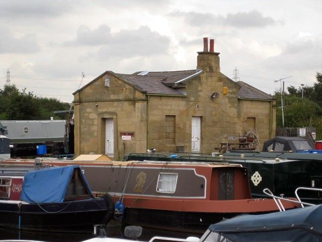
Aqueduct Cottage between River Calder and the Aire and Calder Navigation Basin.
II
GV
Canal office or cottage. Circa 1839 for the Aire and Calder Navigation
Company. Ashlar. Welsh slate roof (part gone). Classical style. Single
storey. Symmetrical 3-bay facade with central tetrastyle Doric portico with
square outer piers and inner fluted columns supporting architrave, frieze and
triangular pediment. The doorway has eared architrave and is flanked by
small blocked windows (within the portico) and with a further blocked window
to the left and right bays. Small eaves cornice. Central stack. Left and
right returns also pedimented with doorway to right return and window to
left, both blocked. The small addition at rear, (partly collapsed), is
possibly contemporary.
Listing NGR: SE 35553 22981
External links are from the relevant listing authority and, where applicable, Wikidata. Wikidata IDs may be related buildings as well as this specific building. If you want to add or update a link, you will need to do so by editing the Wikidata entry.


Other nearby listed buildings
