Approximate Location Map
Large Map »
Latitude: 51.6048 / 51°36'17"N
Longitude: -0.1899 / 0°11'23"W
OS Eastings: 525449
OS Northings: 191105
OS Grid: TQ254911
Mapcode National: GBR C2.JT0
Mapcode Global: VHGQC.NXGM
Plus Code: 9C3XJR36+W2
Entry Name: Cornwall House
Listing Date: 7 April 1983
Grade: II
Source: Historic England
Source ID: 1188559
English Heritage Legacy ID: 198846
ID on this website: 101188559
Location: Church End, Barnet, London, N3
County: London
District: Barnet
Electoral Ward/Division: West Finchley
Parish: Non Civil Parish
Built-Up Area: Barnet
Traditional County: Middlesex
Lieutenancy Area (Ceremonial County): Greater London
Church of England Parish: Finchley St Paul
Church of England Diocese: London
Tagged with: House
1.
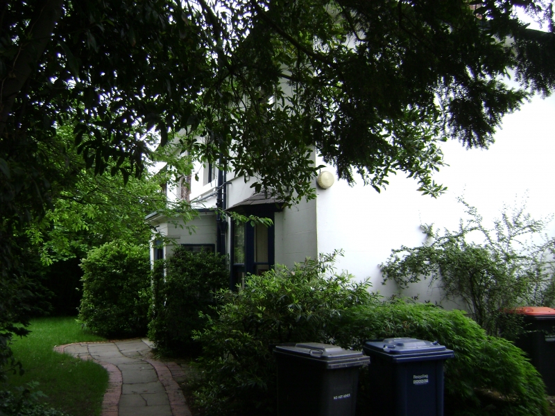
5004 CORNWALL AVENUE N3
Cornwall House
TQ 29 SE 6/99
II
2.
Probably late C18, altered and extended, 2 storeys. Double fronted house of stock
brick with stuccoed south elevation. Hipped slated roof with eaves. Porch to south
with later bay windows. West extension. Plain interior.
Listing NGR: TQ2544991105
External links are from the relevant listing authority and, where applicable, Wikidata. Wikidata IDs may be related buildings as well as this specific building. If you want to add or update a link, you will need to do so by editing the Wikidata entry.


Other nearby listed buildings
