Approximate Location Map
Large Map »
Latitude: 50.8691 / 50°52'8"N
Longitude: -0.3066 / 0°18'23"W
OS Eastings: 519255
OS Northings: 109094
OS Grid: TQ192090
Mapcode National: GBR HM0.FB4
Mapcode Global: FRA B67S.Y3Q
Plus Code: 9C2XVM9V+J9
Entry Name: St Botolph's
Listing Date: 9 May 1980
Grade: II
Source: Historic England
Source ID: 1191899
English Heritage Legacy ID: 298325
ID on this website: 101191899
Location: Botolphs, Horsham, West Sussex, BN44
County: West Sussex
District: Horsham
Civil Parish: Bramber
Built-Up Area: Steyning
Traditional County: Sussex
Lieutenancy Area (Ceremonial County): West Sussex
Church of England Parish: Beeding St Peter and Bramber St Nicholas
Church of England Diocese: Chichester
Tagged with: Architectural structure
BRAMBER ANNINGTON ROAD
1.
5404
Nos 1 and 2
St Botolph's
TQ 10 NE 15/52
II
2.
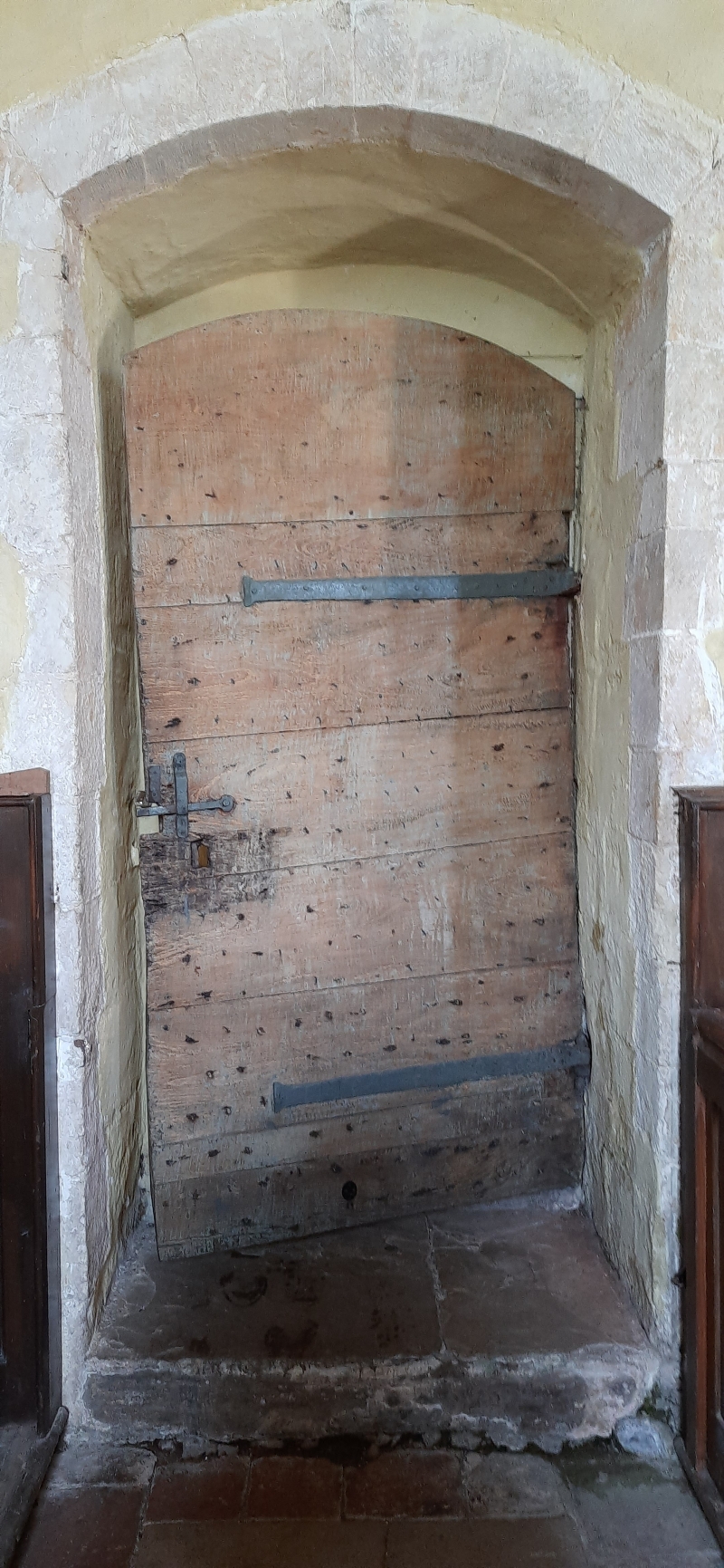
Originally four, later three, now two cottages. C17 or earlier timber-framed
building refaced in the C18 with flints with red brick dressings, quoins and
eaves cornice. Tiled roof. Casement windows. Two storeys. Five windows.
Listing NGR: TQ1925709092
External links are from the relevant listing authority and, where applicable, Wikidata. Wikidata IDs may be related buildings as well as this specific building. If you want to add or update a link, you will need to do so by editing the Wikidata entry.


Other nearby listed buildings
