Approximate Location Map
Large Map »
Latitude: 53.9062 / 53°54'22"N
Longitude: -1.6939 / 1°41'38"W
OS Eastings: 420206
OS Northings: 445605
OS Grid: SE202456
Mapcode National: GBR JRM8.2G
Mapcode Global: WHC8X.Y2JR
Plus Code: 9C5WW844+FC
Entry Name: 27, Clapgate
Listing Date: 8 July 1974
Grade: II
Source: Historic England
Source ID: 1200181
English Heritage Legacy ID: 341411
ID on this website: 101200181
Location: Otley, Leeds, West Yorkshire, LS21
County: Leeds
Civil Parish: Otley
Built-Up Area: Otley
Traditional County: Yorkshire
Lieutenancy Area (Ceremonial County): West Yorkshire
Church of England Parish: Otley All Saints
Church of England Diocese: Leeds
Tagged with: Building
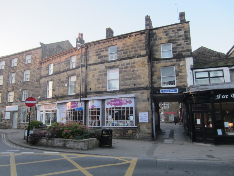
Clapgate
1.
1480
(South Side)
No 27
SE 2045 1/148
II GV
2.
C18 origin. 2 storeys in stone with stone slate roof. 2 large casement
windows on first floor. Ground floor projects with late C19 shop front.
Nos 15 to 27 (odd) form a group.
Listing NGR: SE2020645605
External links are from the relevant listing authority and, where applicable, Wikidata. Wikidata IDs may be related buildings as well as this specific building. If you want to add or update a link, you will need to do so by editing the Wikidata entry.


Other nearby listed buildings
