Approximate Location Map
Large Map »
Latitude: 52.6268 / 52°37'36"N
Longitude: 1.2951 / 1°17'42"E
OS Eastings: 623108
OS Northings: 308322
OS Grid: TG231083
Mapcode National: GBR W97.ZK
Mapcode Global: WHMTM.V7WL
Plus Code: 9F43J7GW+P2
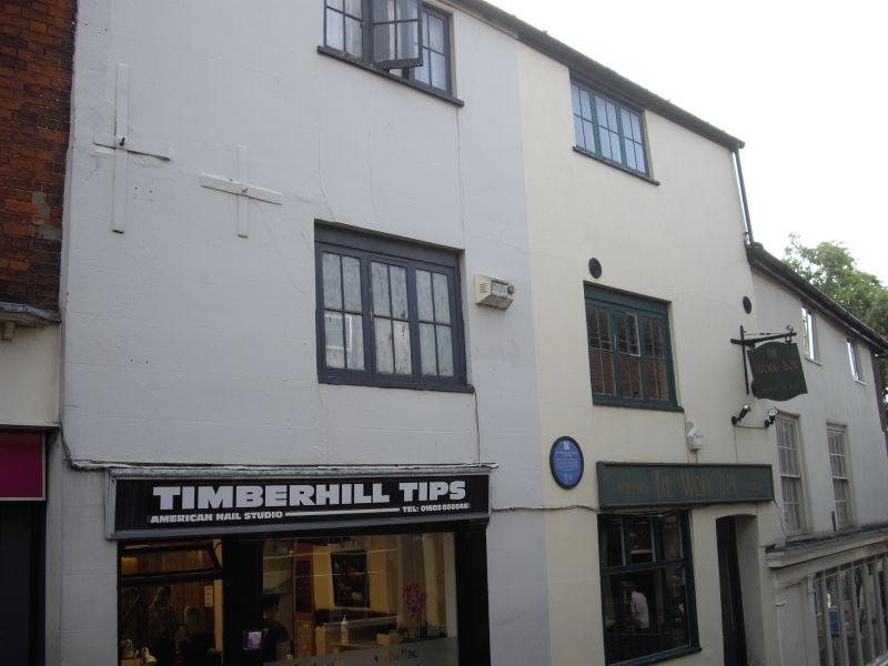
Entry Name: 5 and 7, Timberhill
Listing Date: 28 March 1972
Grade: II
Source: Historic England
Source ID: 1210698
English Heritage Legacy ID: 229659
ID on this website: 101210698
Location: Norwich, Norfolk, NR1
County: Norfolk
District: Norwich
Electoral Ward/Division: Mancroft
Parish: Non Civil Parish
Built-Up Area: Norwich
Traditional County: Norfolk
Lieutenancy Area (Ceremonial County): Norfolk
Church of England Parish: Norwich St John, Timberhill
Church of England Diocese: Norwich
Tagged with: Building
TG 2308 SW TIMBERHILL
(south-west side)
23/865
28.3.72. Nos. 5 and 7
GV II
Former use unknown now shops. C17 altered in the C19 and C20. Rendered.
Pantile roof. 2 plain shopfronts with end doors. Casement windows through-
out. Fascia cornice.
Listing NGR: TG2310808322
External links are from the relevant listing authority and, where applicable, Wikidata. Wikidata IDs may be related buildings as well as this specific building. If you want to add or update a link, you will need to do so by editing the Wikidata entry.


Other nearby listed buildings
