Approximate Location Map
Large Map »
Latitude: 51.3311 / 51°19'51"N
Longitude: -0.2698 / 0°16'11"W
OS Eastings: 520633
OS Northings: 160533
OS Grid: TQ206605
Mapcode National: GBR 93.W3H
Mapcode Global: VHGRP.8SPY
Plus Code: 9C3X8PJJ+C3
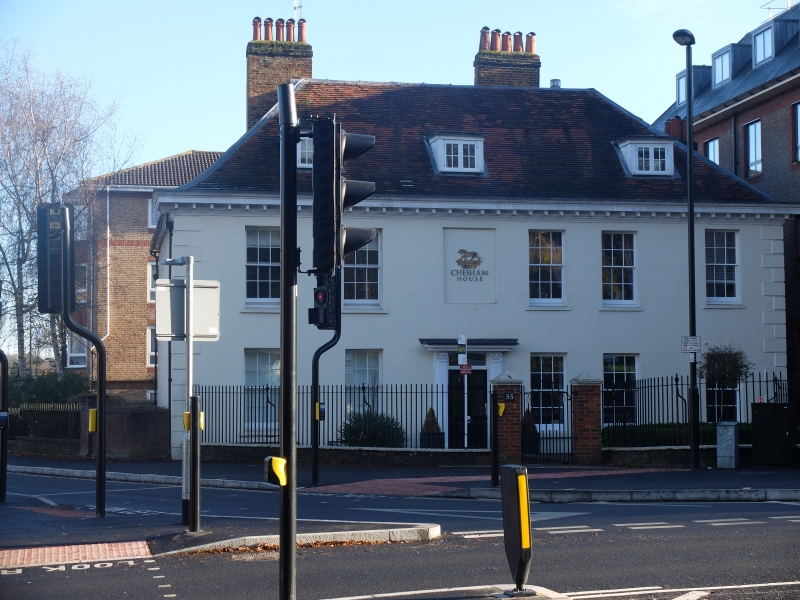
Entry Name: 55, South Street
Listing Date: 22 March 1974
Grade: II
Source: Historic England
Source ID: 1213765
English Heritage Legacy ID: 398336
ID on this website: 101213765
Location: Epsom, Epsom and Ewell, Surrey, KT18
County: Surrey
District: Epsom and Ewell
Electoral Ward/Division: Town
Parish: Non Civil Parish
Built-Up Area: Epsom
Traditional County: Surrey
Lieutenancy Area (Ceremonial County): Surrey
Church of England Parish: Epsom St Martin
Church of England Diocese: Guildford
Tagged with: Building
1086 EPSOM SOUTH STREET
(East Side)
TQ 2060 30/267 No 55
GV II
Late C17. Colourwashed brick. Hipped corrugated iron roof. Brick stacks.
2 storeys. Band. Front elevation obscured by 1 storey modern addition. Rear elevation has 6 ranges of flush-framed cased sashes with glazing bars, of which 1 is set between the floor levels. 1 storey modern lean-to.
Listing NGR: TQ2063360533
External links are from the relevant listing authority and, where applicable, Wikidata. Wikidata IDs may be related buildings as well as this specific building. If you want to add or update a link, you will need to do so by editing the Wikidata entry.


Other nearby listed buildings
