Approximate Location Map
Large Map »
Latitude: 52.325 / 52°19'29"N
Longitude: -2.1987 / 2°11'55"W
OS Eastings: 386552
OS Northings: 269673
OS Grid: SO865696
Mapcode National: GBR 1DM.8XM
Mapcode Global: VH921.TTZJ
Plus Code: 9C4V8RF2+XG
Entry Name: Church of St Michael
Listing Date: 14 March 1969
Grade: II*
Source: Historic England
Source ID: 1215248
English Heritage Legacy ID: 400332
ID on this website: 101215248
Location: St Michael's Church, Elmley Lovett, Wychavon, Worcestershire, WR9
County: Worcestershire
District: Wychavon
Civil Parish: Elmley Lovett
Traditional County: Worcestershire
Lieutenancy Area (Ceremonial County): Worcestershire
Church of England Parish: Elmley Lovett
Church of England Diocese: Worcester
Tagged with: Church building
ELMLEY LOVETT CP ELMLEY LOVETT
SO 86 NE
5/43
Church of St Michael
14.3.69
GV
II*
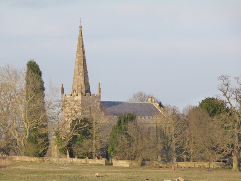
Parish church. C14 tower, remainder rebuilt 1839-1840 by John Mills.
Ashlar, tile roof. Chancel, nave, west tower. Tower: C14, three stages,
recessed octagonal spire, battlemented parapet with three corner pinnacles
(north-west pinnacle missing), diagonal buttresses to ground floor, roll
moulding to corner above, 1840 additions (single storey) on north and south
side of tower provide porches; tall window to second stage (belfry) with
semi-circular head; square headed window to first stage; in ground floor
west wall a restored window of three lights with trefoiled heads under
2-centred head. Nave: battlemented parapet, diagonal buttresses, four
bays divided by stepped buttresses with large lancet windows, each with
label. Chancel: two bays to south wall, lancet to east bay, other blank;
east wall: three stepped lancets, roundel above inscribed "SUB CRUCE CANDIDA
1840". Interior: chancel arch 2-centred and chamfered; roof: nave: seven
bays, chancel two bays, collar trusses. Fittings: late C19 font, C17 altar
table, a hatchment and the Royal arms. The church stands in the middle of
a deserted medieval village. (VCH 3, p 110; BoE, p 144; H Colvin, 1978,
A Biographical Dictionary of British Architects 1600 - 1840, London).
Listing NGR: SO8655269673
External links are from the relevant listing authority and, where applicable, Wikidata. Wikidata IDs may be related buildings as well as this specific building. If you want to add or update a link, you will need to do so by editing the Wikidata entry.


Other nearby listed buildings
