Approximate Location Map
Large Map »
Latitude: 52.9044 / 52°54'15"N
Longitude: -1.5476 / 1°32'51"W
OS Eastings: 430525
OS Northings: 334203
OS Grid: SK305342
Mapcode National: GBR P1N.W6
Mapcode Global: WHCFV.6898
Plus Code: 9C4WWF32+QX
Entry Name: Church of All Saints
Listing Date: 19 January 1967
Last Amended: 24 February 1977
Grade: II*
Source: Historic England
Source ID: 1216184
English Heritage Legacy ID: 401519
ID on this website: 101216184
Location: All Saints' Church, Mickleover, Derby, Derbyshire, DE3
County: City of Derby
Electoral Ward/Division: Mickleover
Parish: Non Civil Parish
Built-Up Area: Derby
Traditional County: Derbyshire
Lieutenancy Area (Ceremonial County): Derbyshire
Church of England Parish: Mickleover All Saints
Church of England Diocese: Derby
Tagged with: Church building
893/11/86 ETWALL ROAD
19-JAN-67 MICKLEOVER
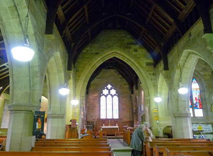
CHURCH OF ALL SAINTS
II*
Medieval church consisting {of} nave, {aisles,} chancel and low west tower with angle {buttresses.} Built of stone with slate {roof.} Largely C14, restored.
External links are from the relevant listing authority and, where applicable, Wikidata. Wikidata IDs may be related buildings as well as this specific building. If you want to add or update a link, you will need to do so by editing the Wikidata entry.


Other nearby listed buildings
