Approximate Location Map
Large Map »
Latitude: 50.7106 / 50°42'38"N
Longitude: -2.7604 / 2°45'37"W
OS Eastings: 346404
OS Northings: 90385
OS Grid: SY464903
Mapcode National: GBR PP.1Y57
Mapcode Global: FRA 5736.GD6
Plus Code: 9C2VP66Q+6R
Entry Name: 1, 2 and 3, Station Road
Listing Date: 19 September 1975
Grade: II
Source: Historic England
Source ID: 1228347
English Heritage Legacy ID: 402960
ID on this website: 101228347
Location: West Bay, Dorset, DT6
County: Dorset
Civil Parish: Bridport
Built-Up Area: Bridport
Traditional County: Dorset
Lieutenancy Area (Ceremonial County): Dorset
Church of England Parish: Bridport St Mary
Church of England Diocese: Salisbury
Tagged with: Building
1.
5191 STATION ROAD (West Bay)
(South Side)
Nos 1, 2 & 3
SY 469O 10/465
II
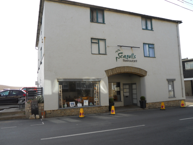
2.
C18 or C19. Former warehouse. Rubble. Hipped slate roof. 3 storeys. 2
ranges of casements. Segmental arch on ground floor now leading to shops.
Modern shopfronts.
Listing NGR: SY4640490385
External links are from the relevant listing authority and, where applicable, Wikidata. Wikidata IDs may be related buildings as well as this specific building. If you want to add or update a link, you will need to do so by editing the Wikidata entry.


Other nearby listed buildings
