Approximate Location Map
Large Map »
Latitude: 50.6919 / 50°41'30"N
Longitude: -2.6696 / 2°40'10"W
OS Eastings: 352796
OS Northings: 88244
OS Grid: SY527882
Mapcode National: GBR PR.F504
Mapcode Global: FRA 5797.V35
Plus Code: 9C2VM8RJ+Q4
Entry Name: Monument (Illegible) 3 Metres North of Parish Church Tower
Listing Date: 19 December 1984
Grade: II
Source: Historic England
Source ID: 1229209
English Heritage Legacy ID: 403959
ID on this website: 101229209
Location: Holy Trinity Church, Swyre, Dorset, DT2
County: Dorset
Civil Parish: Swyre
Traditional County: Dorset
Lieutenancy Area (Ceremonial County): Dorset
Church of England Parish: Swyre Holy Trinity
Church of England Diocese: Salisbury
Tagged with: Monument
SY 58 NW SWYRE SWYRE VILLAGE
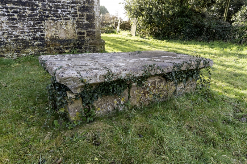
6/253 Monument (illegible)
3 metres north
of Parish Church
Tower
GV II
Table-Tomb. c.C17. Stone and partly sunken in. Plain sides and
a large flat top block, hollow-chamfered beneath. Inscription
illegible.
Listing NGR: SY5279088233
External links are from the relevant listing authority and, where applicable, Wikidata. Wikidata IDs may be related buildings as well as this specific building. If you want to add or update a link, you will need to do so by editing the Wikidata entry.


Other nearby listed buildings
