Approximate Location Map
Large Map »
Latitude: 52.7636 / 52°45'49"N
Longitude: -0.8858 / 0°53'9"W
OS Eastings: 475276
OS Northings: 319030
OS Grid: SK752190
Mapcode National: GBR BNW.QV1
Mapcode Global: WHFK0.CSDP
Plus Code: 9C4XQ477+FM
Entry Name: Parish Church of St Mary
Listing Date: 24 October 1950
Grade: I
Source: Historic England
Source ID: 1235286
English Heritage Legacy ID: 425927
ID on this website: 101235286
Location: St Mary's Church, Melton Mowbray, Melton, Leicestershire, LE13
County: Leicestershire
District: Melton
Electoral Ward/Division: Melton Craven
Parish: Non Civil Parish
Built-Up Area: Melton Mowbray
Traditional County: Leicestershire
Lieutenancy Area (Ceremonial County): Leicestershire
Church of England Parish: Melton Mowbray Team
Church of England Diocese: Leicester
Tagged with: Church building
SK 7519 SW MELTON MOWBRAY BURTON STREET
(West Side)
890/1/20 Parish Church of St Mary
24-OCT-1950
GV I
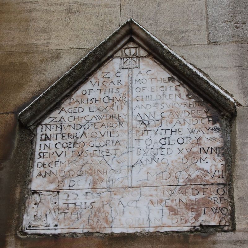
Large and impressive church with tall central tower, nave, aisles, chancel and aisled transepts. Some Norman and earlier C13 work but most of church of late C13 to mid C14 date. C15 Perpendicular additions dominant in external views of church. North vestry C16. Church restored by Scott during 1850's. Once a cell of Lewes Priory and they built the chancel. Fine Perpendicular clerestory carried over nave and chancel. Perpendicular upper stages of tower rest on Norman work. Good west porch of C14 date. North and south entrances in addition to this. Church contains mediaeval tomb of Lord Mowbray. Other monuments of C14, C15, C16 and C18 date. Tablet to John Ferneley Artist. (see Elgin Lodge.)
All the listed buildings in Burton Street form a group of which Nos 24 to 36 (even) are of local interest. The Parish Church of St Mary forms a part of groups on Burton Street, Church Street and Church Terrace, and is also the most prominent feature in near and distant views of the town.
Listing NGR: SK7527619030
External links are from the relevant listing authority and, where applicable, Wikidata. Wikidata IDs may be related buildings as well as this specific building. If you want to add or update a link, you will need to do so by editing the Wikidata entry.


Other nearby listed buildings
