Approximate Location Map
Large Map »
Latitude: 51.7442 / 51°44'39"N
Longitude: -2.2146 / 2°12'52"W
OS Eastings: 385282
OS Northings: 205079
OS Grid: SO852050
Mapcode National: GBR 1MK.QWJ
Mapcode Global: VH94Y.KFM7
Plus Code: 9C3VPQVP+M5
Entry Name: Rose Cottages
Listing Date: 25 June 1974
Grade: II
Source: Historic England
Source ID: 1238284
English Heritage Legacy ID: 415629
ID on this website: 101238284
Location: Stroud, Gloucestershire, GL5
County: Gloucestershire
District: Stroud
Civil Parish: Stroud
Built-Up Area: Stroud
Traditional County: Gloucestershire
Lieutenancy Area (Ceremonial County): Gloucestershire
Church of England Parish: Stroud St Laurence
Church of England Diocese: Gloucester
Tagged with: Cottage
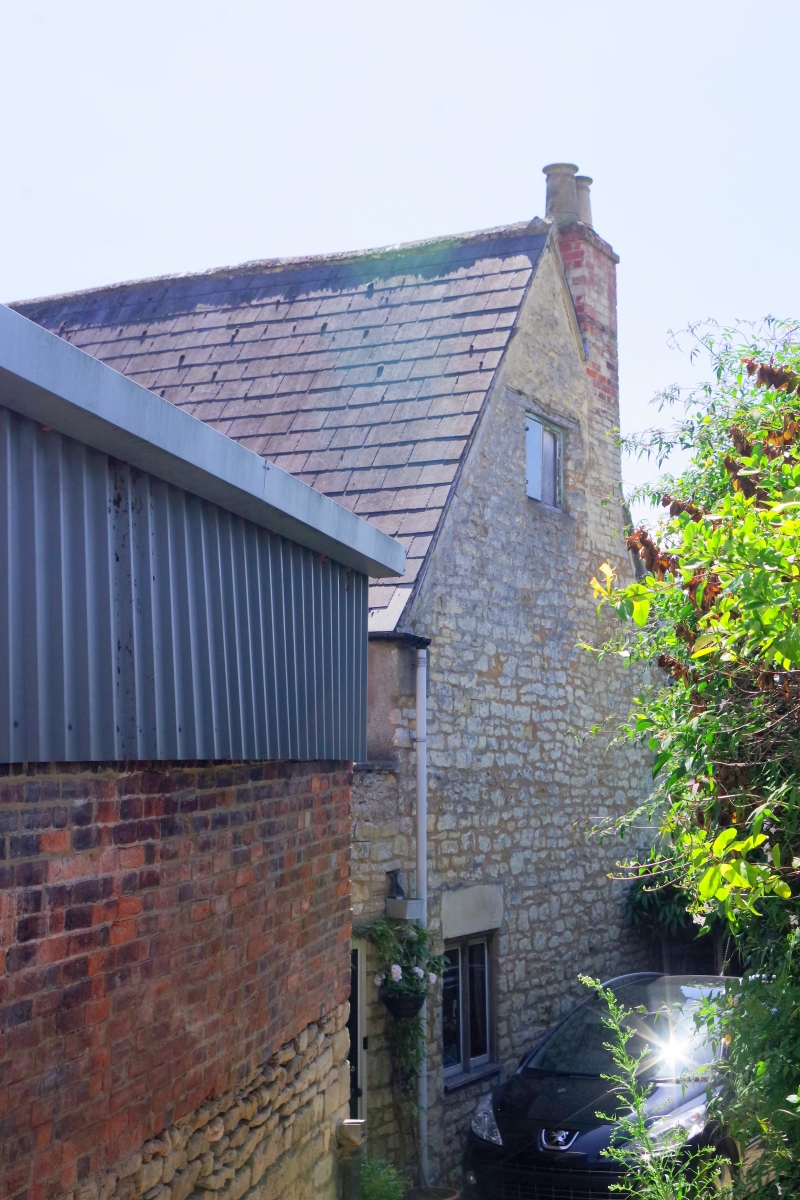
1. FARR'S LANE
5227
Nos 1 to 5 (consec)
(Rose Cottages )
SO 8505 5/257
II
2.
C17 C18. Coursed rubble. Pitched slate roof. Brick chimneys. 2 storeys and
attics (No 3 has 1 storey and attic). 1 range of casements each (No 2's mullioned
and with lead glazing bars). 2 attic dormers with casements. Liverpool and
(?) London Fire Insurance Badge dated 1836.
Listing NGR: SO8528205079
External links are from the relevant listing authority and, where applicable, Wikidata. Wikidata IDs may be related buildings as well as this specific building. If you want to add or update a link, you will need to do so by editing the Wikidata entry.


Other nearby listed buildings
