Approximate Location Map
Large Map »
Latitude: 50.6838 / 50°41'1"N
Longitude: -3.4645 / 3°27'52"W
OS Eastings: 296632
OS Northings: 88151
OS Grid: SX966881
Mapcode National: GBR P2.JKXD
Mapcode Global: FRA 37M8.J2X
Plus Code: 9C2RMGMP+G5
Entry Name: 16-22, Majorfield Road
Listing Date: 18 June 1974
Grade: II
Source: Historic England
Source ID: 1239669
English Heritage Legacy ID: 417643
ID on this website: 101239669
Location: Topsham, Exeter, Devon, EX3
County: Devon
District: Exeter
Electoral Ward/Division: Topsham
Parish: Non Civil Parish
Built-Up Area: Topsham
Traditional County: Devon
Lieutenancy Area (Ceremonial County): Devon
Church of England Parish: Topsham St Margaret
Church of England Diocese: Exeter
Tagged with: Building
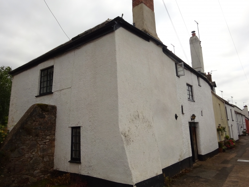
MAJORFIELD ROAD
1.
1092
(South Side)
TOPSHAM
Nos 16 to 22 (even)
SX 9687 8/1034
II GV
2.
Probably early C18. Cob. Two pairs of cottages. Two storeys. Various casement
windows in the original openings. Plain door. Slate roofs, No 22 has a corrugated
iron roof. Peep windows to Nos 20 and 22.
Nos 16 to 22 (even) form a group.
Listing NGR: SX9664188155
External links are from the relevant listing authority and, where applicable, Wikidata. Wikidata IDs may be related buildings as well as this specific building. If you want to add or update a link, you will need to do so by editing the Wikidata entry.


Other nearby listed buildings
