Approximate Location Map
Large Map »
Latitude: 54.4024 / 54°24'8"N
Longitude: -1.7388 / 1°44'19"W
OS Eastings: 417052
OS Northings: 500802
OS Grid: NZ170008
Mapcode National: GBR JK9J.BM
Mapcode Global: WHC6D.8L7X
Plus Code: 9C6WC726+XF
Entry Name: 6, New Road
Listing Date: 15 October 1973
Grade: II
Source: Historic England
Source ID: 1240881
English Heritage Legacy ID: 439440
ID on this website: 101240881
Location: Richmond, North Yorkshire, DL10
County: North Yorkshire
District: Richmondshire
Civil Parish: Richmond
Built-Up Area: Richmond
Traditional County: Yorkshire
Lieutenancy Area (Ceremonial County): North Yorkshire
Church of England Parish: Richmond with Holy Trinity with Hudswell
Church of England Diocese: Leeds
Tagged with: Building
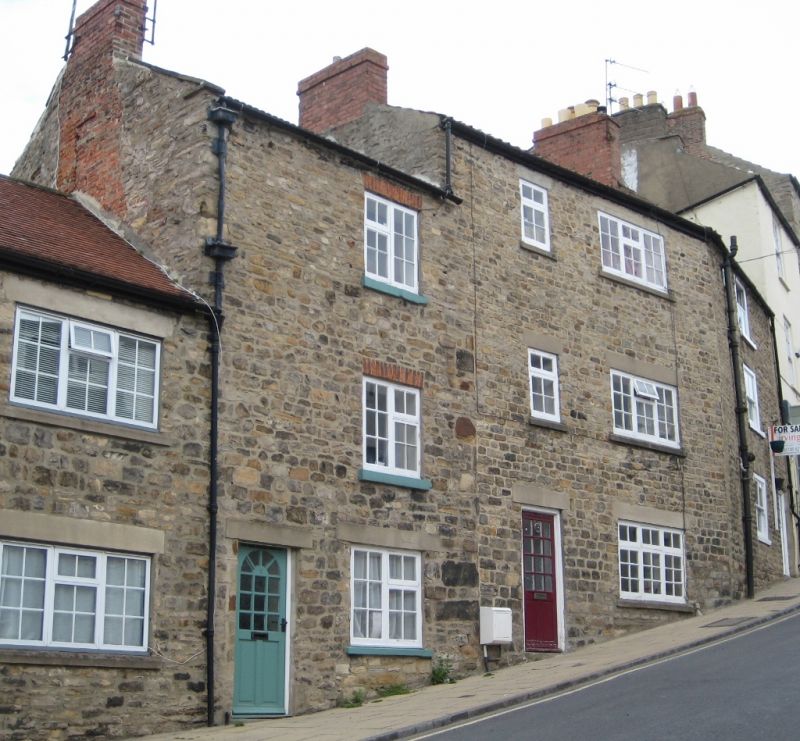
1. NEW ROAD
1549 (North Side)
No 6
NZ 1700 NW 1/398
II GV
2.
Early C19. Three storeys in coursed stone. Pantile roof. Two windows
of one and three lights, modern casements, cement lintels. Modern door,
cement lintel, Included as part of a group with Nos 2-10.
Nos 2 to 10 (even) form a group
Listing NGR: NZ1705200802
External links are from the relevant listing authority and, where applicable, Wikidata. Wikidata IDs may be related buildings as well as this specific building. If you want to add or update a link, you will need to do so by editing the Wikidata entry.


Other nearby listed buildings
