Approximate Location Map
Large Map »
Latitude: 51.2822 / 51°16'56"N
Longitude: 1.076 / 1°4'33"E
OS Eastings: 614607
OS Northings: 158170
OS Grid: TR146581
Mapcode National: GBR TY2.GW7
Mapcode Global: VHLGM.L1PC
Plus Code: 9F3373JG+V9
Entry Name: 6, North Lane
Listing Date: 3 May 1967
Grade: II
Source: Historic England
Source ID: 1241131
English Heritage Legacy ID: 440044
ID on this website: 101241131
Location: Canterbury, Kent, CT2
County: Kent
District: Canterbury
Electoral Ward/Division: Westgate
Parish: Non Civil Parish
Built-Up Area: Canterbury
Traditional County: Kent
Lieutenancy Area (Ceremonial County): Kent
Tagged with: Building
1.
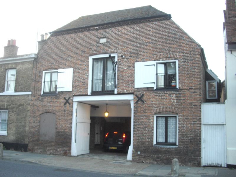
944 NORTH LANE
(North West Side)
No 6
TR 1458 SE 2/345 3.5.67.
II GV
2.
Dated 1824 with the initials H W M. 2 1/2 storeys. Half hippedroof with eaves
cogging cornice. 3 barn doors on the 1st floor with a wrought iron pulley.
Braces. Central doorcase.
Nos 1, 2 & Nos 4 to 15 (consec) form a group.
Listing NGR: TR1460758175
External links are from the relevant listing authority and, where applicable, Wikidata. Wikidata IDs may be related buildings as well as this specific building. If you want to add or update a link, you will need to do so by editing the Wikidata entry.


Other nearby listed buildings
