Approximate Location Map
Large Map »
Latitude: 51.281 / 51°16'51"N
Longitude: 1.0813 / 1°4'52"E
OS Eastings: 614987
OS Northings: 158052
OS Grid: TR149580
Mapcode National: GBR TY2.Q5Q
Mapcode Global: VHLGM.P2J9
Plus Code: 9F3373JJ+CG
Entry Name: 14 and 15, Palace Street
Listing Date: 7 September 1973
Grade: II
Source: Historic England
Source ID: 1241434
English Heritage Legacy ID: 440500
ID on this website: 101241434
Location: Canterbury, Kent, CT1
County: Kent
District: Canterbury
Electoral Ward/Division: Westgate
Parish: Non Civil Parish
Built-Up Area: Canterbury
Traditional County: Kent
Lieutenancy Area (Ceremonial County): Kent
Tagged with: Building
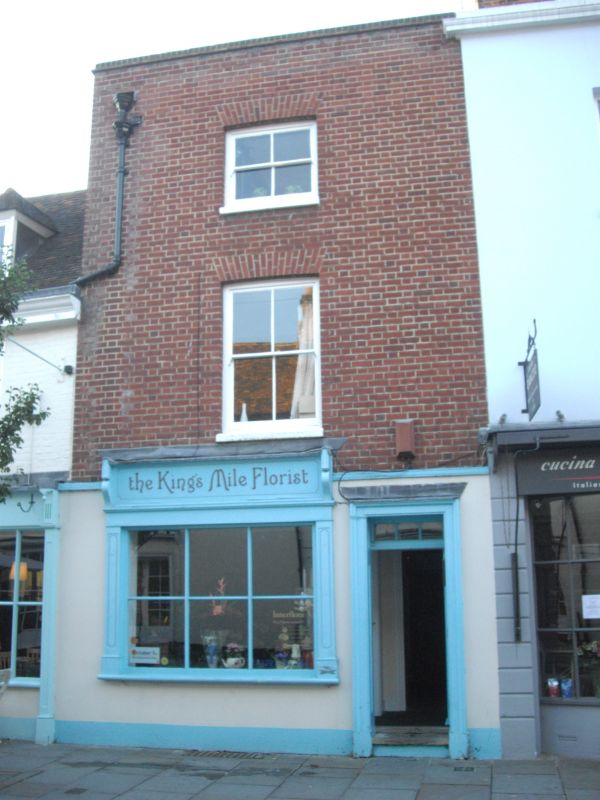
1.
944 PALACE STREET
(West side)
Nos 14 and 15
TR 1458 SE 2/281
II GV
2.
Late C18 pair. 3 storeys red brick. No 15 is colour-washed with rusticated
base. 1 sash with glazing bars intact to No 15 only. No 14 has a simple
C19 shop front. No 15 has a stone eaves cornicee Restored bow and round-
headed doorcase with fanlight. 1 stone step.
Church of St Alphege and Nos 10 to 28 (consec) form a group.
Listing NGR: TR1498458050
External links are from the relevant listing authority and, where applicable, Wikidata. Wikidata IDs may be related buildings as well as this specific building. If you want to add or update a link, you will need to do so by editing the Wikidata entry.


Other nearby listed buildings
