Approximate Location Map
Large Map »
Latitude: 51.2775 / 51°16'38"N
Longitude: 1.0928 / 1°5'34"E
OS Eastings: 615805
OS Northings: 157694
OS Grid: TR158576
Mapcode National: GBR TY3.T9F
Mapcode Global: VHLGM.W5L0
Plus Code: 9F3373GV+X4
Entry Name: 1, St Martin's Hill
Listing Date: 7 September 1973
Grade: II
Source: Historic England
Source ID: 1242170
English Heritage Legacy ID: 441527
ID on this website: 101242170
Location: St Martin's, Canterbury, Kent, CT1
County: Kent
District: Canterbury
Electoral Ward/Division: Barton
Parish: Non Civil Parish
Built-Up Area: Canterbury
Traditional County: Kent
Lieutenancy Area (Ceremonial County): Kent
Tagged with: Building
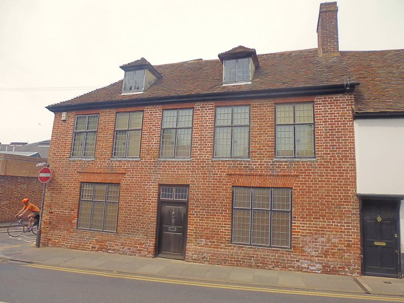
1.
944 ST MARTIN'S HILL
No 1
TR 1557 NE 6/162
II GV
2.
Late C18 or early C19. L-shaped. 2 storeys painted brick. Hipped tiled
roof. 3 sashes with glazing bars intact. 1 triple sash on side. Part stringcourse.
C18 doorcase with pediment, triglyph frieze, fluted pilasters, rectangular
fanlight and modern door.
Nos 1 to 13 (odd) form a group.
Listing NGR: TR1580757696
External links are from the relevant listing authority and, where applicable, Wikidata. Wikidata IDs may be related buildings as well as this specific building. If you want to add or update a link, you will need to do so by editing the Wikidata entry.


Other nearby listed buildings
