Approximate Location Map
Large Map »
Latitude: 51.2804 / 51°16'49"N
Longitude: 1.0779 / 1°4'40"E
OS Eastings: 614750
OS Northings: 157974
OS Grid: TR147579
Mapcode National: GBR TY2.PBB
Mapcode Global: VHLGM.M2PR
Plus Code: 9F3373JH+55
Entry Name: 9 and 10, St Peter's Street
Listing Date: 3 May 1967
Grade: II
Source: Historic England
Source ID: 1242342
English Heritage Legacy ID: 441706
ID on this website: 101242342
Location: Canterbury, Kent, CT1
County: Kent
District: Canterbury
Electoral Ward/Division: Westgate
Parish: Non Civil Parish
Built-Up Area: Canterbury
Traditional County: Kent
Lieutenancy Area (Ceremonial County): Kent
Tagged with: Building
1.
944 ST PETER'S STREET
(North East Side)
Nos 9 and 10
TR 1457 NE 4/305 3.5.67.
II GV
2.
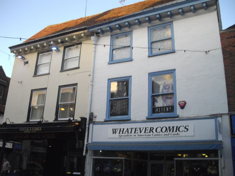
Early C18. 3 storeys. No 9 is painted brick. No 10 is stuccoed. Old tiled
roof with wide modillion cornice. 4 C19 sashes set in moulded architraves.
Rainwater head with fluted capital. Later shop fronts.
Nos 1 to 10 (consec) form a group.
Listing NGR: TR1475157979
External links are from the relevant listing authority and, where applicable, Wikidata. Wikidata IDs may be related buildings as well as this specific building. If you want to add or update a link, you will need to do so by editing the Wikidata entry.


Other nearby listed buildings
