Approximate Location Map
Large Map »
Latitude: 53.1812 / 53°10'52"N
Longitude: -1.8691 / 1°52'8"W
OS Eastings: 408842
OS Northings: 364902
OS Grid: SK088649
Mapcode National: GBR 358.G8P
Mapcode Global: WHCDB.895L
Plus Code: 9C5W54JJ+F8
Entry Name: The Cross 7 Metres West of Crewe and Harpur Arms
Listing Date: 5 June 1985
Grade: II
Source: Historic England
Source ID: 1252538
English Heritage Legacy ID: 274285
ID on this website: 101252538
Location: Longnor, Staffordshire Moorlands, Staffordshire, SK17
County: Staffordshire
District: Staffordshire Moorlands
Civil Parish: Longnor
Traditional County: Staffordshire
Lieutenancy Area (Ceremonial County): Staffordshire
Church of England Parish: Longnor St Bartholomew
Church of England Diocese: Lichfield
Tagged with: Stone cross
SK 06 SE
5/49
LONGNOR C.P.
THE SQUARE
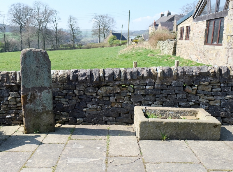
The Cross 7m west of Crewe and Harpur Arms
GV
II
Cross. Possibly C15 or C16. Stone, rectangular plan, stump of 1.2m
jointed from break in centre.
Listing NGR: SK0884264902
External links are from the relevant listing authority and, where applicable, Wikidata. Wikidata IDs may be related buildings as well as this specific building. If you want to add or update a link, you will need to do so by editing the Wikidata entry.


Other nearby listed buildings
