Approximate Location Map
Large Map »
Latitude: 52.1198 / 52°7'11"N
Longitude: -2.0654 / 2°3'55"W
OS Eastings: 395619
OS Northings: 246829
OS Grid: SO956468
Mapcode National: GBR 2JN.0N4
Mapcode Global: VHB0K.4ZZC
Plus Code: 9C4V4W9M+WR
Entry Name: Wyre Mill
Listing Date: 3 August 1972
Grade: II
Source: Historic England
Source ID: 1259145
English Heritage Legacy ID: 445487
ID on this website: 101259145
Location: Wychavon, Worcestershire, WR10
County: Worcestershire
District: Wychavon
Civil Parish: Wyre Piddle
Traditional County: Worcestershire
Lieutenancy Area (Ceremonial County): Worcestershire
Church of England Parish: Fladbury, Hill and Moor, Wyre Piddle, Cropthorne and Charlton
Church of England Diocese: Worcester
Tagged with: Mill
WYRE PIDDLE WYRE PIDDLE
1.
23Ol
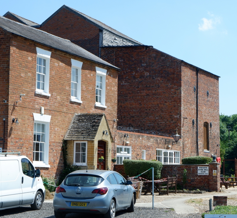
Wyre Mill
SO 94 NE 10/911
II
2.
Late C18 or early C19 mill with originally 3 wheels. Red brick. Slate roof.
Metal multipane windows.
Listing NGR: SO9561946829
External links are from the relevant listing authority and, where applicable, Wikidata. Wikidata IDs may be related buildings as well as this specific building. If you want to add or update a link, you will need to do so by editing the Wikidata entry.


Other nearby listed buildings
