Approximate Location Map
Large Map »
Latitude: 51.5131 / 51°30'47"N
Longitude: -0.0472 / 0°2'50"W
OS Eastings: 535602
OS Northings: 181162
OS Grid: TQ356811
Mapcode National: GBR J9.BS1
Mapcode Global: VHGR1.47DD
Plus Code: 9C3XGX73+64
Entry Name: Drinking Fountain
Listing Date: 27 September 1973
Grade: II
Source: Historic England
Source ID: 1263120
English Heritage Legacy ID: 205700
ID on this website: 101263120
Location: Ratcliff, Tower Hamlets, London, E1
County: London
District: Tower Hamlets
Electoral Ward/Division: Stepney Green
Parish: Non Civil Parish
Built-Up Area: Tower Hamlets
Traditional County: Middlesex
Lieutenancy Area (Ceremonial County): Greater London
Church of England Parish: St Mary Cable Street
Church of England Diocese: London
Tagged with: Drinking fountain
ALBERT GARDENS E1
1.
4431
Drinking Fountain
TQ 3581 16/503
II GV
2.
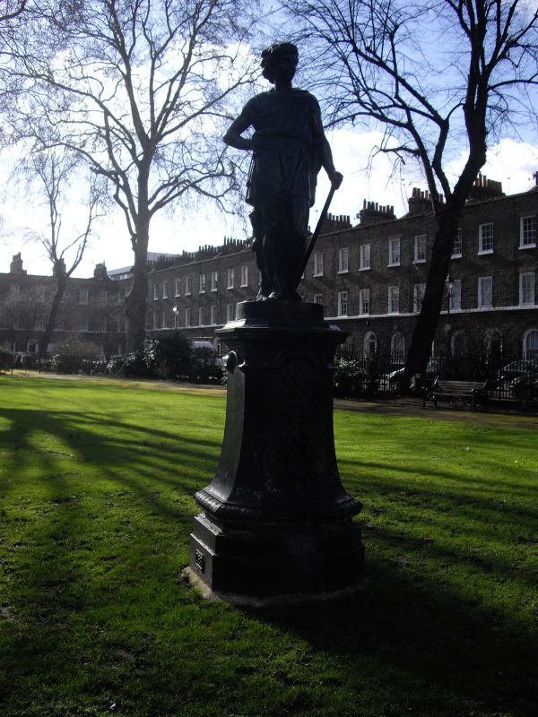
1903. Drinking fountain surmounted by a statue of a Shepherd Boy with bas relief
of bulrushes and flowers on plinth.
All the listed buildings in Albert Gardens form a group with Nos 495 to 529 (odd)
Commercial Road.
Listing NGR: TQ3560281162
External links are from the relevant listing authority and, where applicable, Wikidata. Wikidata IDs may be related buildings as well as this specific building. If you want to add or update a link, you will need to do so by editing the Wikidata entry.


Other nearby listed buildings
