Approximate Location Map
Large Map »
Latitude: 51.1952 / 51°11'42"N
Longitude: 1.2879 / 1°17'16"E
OS Eastings: 629816
OS Northings: 149135
OS Grid: TR298491
Mapcode National: GBR W0N.VW2
Mapcode Global: VHLH4.87Q3
Plus Code: 9F3357WQ+35
Entry Name: Malmains Farmhouse and Shareborne House and Wall Attached
Listing Date: 13 October 1952
Last Amended: 24 March 1987
Grade: II*
Source: Historic England
Source ID: 1263941
English Heritage Legacy ID: 429077
ID on this website: 101263941
Location: Dover, Kent, CT15
County: Kent
District: Dover
Civil Parish: Tilmanstone
Traditional County: Kent
Lieutenancy Area (Ceremonial County): Kent
Tagged with: Farmhouse
TILMANSTONE WALDERSHARE
TR 24 NE
6/137 Malmains Farmhouse and
Shareborne House and
13.10.52 wall attached (formerly
listed under Parish of
Sutton)
GV II*
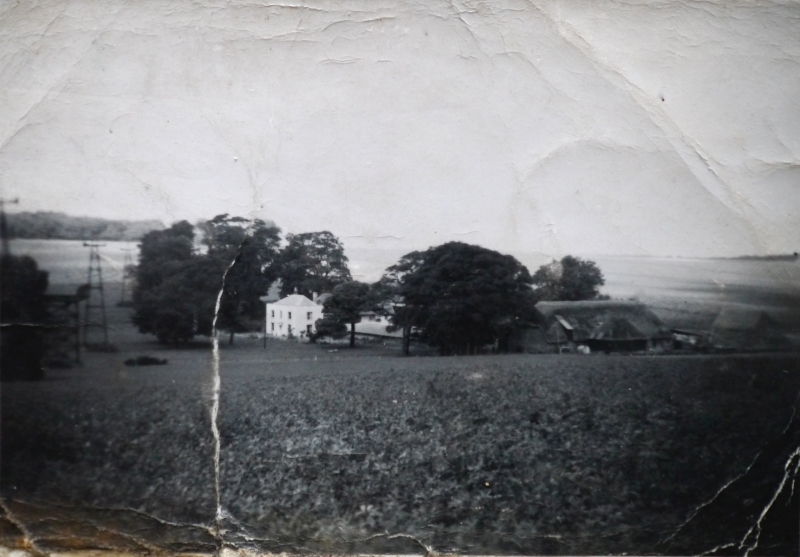
House, now house pair. Late C15, altered and extended mid C17 and c.1800.
Timber framed and exposed close-studding with plaster infill, underbuilt
with painted brick, and extended with rendered brick. Plain tiled roof.
Originally a hall house plan. Two storeys, probably originally jettied,
with roof hipped to left, with stacks to centre left and end right, with a
shaped gable, and projecting to centre right. Projecting return elevation
of c.1800 wing to left, with 1 glazing bar sash on each floor, with 1
wooden casement, horizontal glazing bar sash and 2 glazing bar sashes on
first floor of timber framed range, and 2 glazing bar sashes and central
wooden casement on ground floor, with boarded doors to left and to right.
The left hand wing with main entrance on left return: 2 storeys with parapet
to hipped roof with stack to rear, with 2 margin light sashes and central
glazing bar sash on first floor, and 2 margin light sashes on ground floor
with central 6 panelled door in fluted Doric porch. A wall of flint, rubble
and brick projects from the centre left of main elevation, about 6 feet
high, and extending about 15 metres. Interior: hall house, with ovolo
moulded arch braced tie beams, and crown post roof reported. Hall ceiled
either late C16 or mid C17, with the addition of rear wing with shaped
gable in red brick in English bond. Inglenook with curved timber screen
surviving on one side. C18 doors and fittings survive. Frame generally
of good scantling and moulded detail. The house was the principal seat of
the Monins family, and the manor house until Sir Henry Furnese purchased the
estate and built Waldershare Park c.1705. (See Hasted, X, 1800, pp. 50-54).
Listing NGR: TR2981649135
External links are from the relevant listing authority and, where applicable, Wikidata. Wikidata IDs may be related buildings as well as this specific building. If you want to add or update a link, you will need to do so by editing the Wikidata entry.


Other nearby listed buildings
