Approximate Location Map
Large Map »
Latitude: 51.5858 / 51°35'8"N
Longitude: -2.1015 / 2°6'5"W
OS Eastings: 393065
OS Northings: 187439
OS Grid: ST930874
Mapcode National: GBR 2QZ.HJ4
Mapcode Global: VH95S.JDDP
Plus Code: 9C3VHVPX+8C
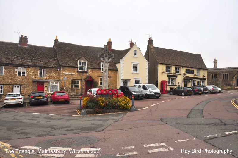
Entry Name: The Three Cups Public House
Listing Date: 1 July 1976
Grade: II
Source: Historic England
Source ID: 1269446
English Heritage Legacy ID: 460774
ID on this website: 101269446
Location: Malmesbury, Wiltshire, SN16
County: Wiltshire
Civil Parish: Malmesbury
Built-Up Area: Malmesbury
Traditional County: Wiltshire
Lieutenancy Area (Ceremonial County): Wiltshire
Church of England Parish: Malmesbury and Brokenborough
Church of England Diocese: Bristol
Tagged with: Pub
MALMESBURY
ST9387 GLOUCESTER ROAD
758-1/2/111 (West side)
01/07/76 The Three Cups Public House
GV II
Public house. C17, re-fronted late C19. Rendered limestone
rubble with ashlar left-hand gable stack and slate roof, stone
slate to the rear.
PLAN: U-shaped plan with early C19 SW wing flanking rear yard.
EXTERIOR: 2 storeys and basement; 3-window range. A central
doorway has bracketed hipped canopy and half-glazed door, with
ground-floor double 4-light casements, 1 to the left and 2 to
the right, and first-floor 3/3-pane left-hand sashes and, one
to the right. The rendered early C19 left-hand gable has a
rubble range behind with large, thin quoins to the end gable
and a rear section with double Roman tile roof, timber lintels
to a left-hand double sash, right-hand C20 casement and
first-floor left-hand 6/6-pane sash.
Right-hand gable return has a right-hand jamb and rubble cill
course of former 2-centre carriage arch, a first-floor C19
casement with stay bar; to the right a C19 shop window in the
lower rear C17 wing.
INTERIOR: details include chamfered, stopped ceiling beams.
Upper floors not seen, but reported to have been re-roofed
C19.
HISTORICAL NOTE: right-hand rear wing probably formerly
extended to include No.2 St Mary's Street (qv).
Listing NGR: ST9305787447
External links are from the relevant listing authority and, where applicable, Wikidata. Wikidata IDs may be related buildings as well as this specific building. If you want to add or update a link, you will need to do so by editing the Wikidata entry.


Other nearby listed buildings
