Approximate Location Map
Large Map »
Latitude: 50.1526 / 50°9'9"N
Longitude: -5.0646 / 5°3'52"W
OS Eastings: 181169
OS Northings: 32554
OS Grid: SW811325
Mapcode National: GBR ZD.TJST
Mapcode Global: FRA 088M.BPZ
Plus Code: 9C2P5W3P+24
Entry Name: Custom House Quay King Charles Quay North Quay Quay Walls and Steps
Listing Date: 10 September 1968
Grade: II*
Source: Historic England
Source ID: 1269983
English Heritage Legacy ID: 460232
ID on this website: 101269983
Location: Falmouth, Cornwall, TR11
County: Cornwall
Civil Parish: Falmouth
Built-Up Area: Falmouth
Traditional County: Cornwall
Lieutenancy Area (Ceremonial County): Cornwall
Tagged with: Architectural structure
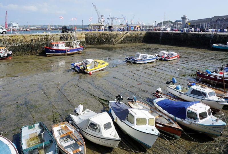
FALMOUTH
SW8132NW TOWN QUAY
843-1/8/210 Custom House Quay, King Charles Quay
10/09/68 and North Quay
GV II*
Quay walls. 1670, by Peter Killigrew and some later
remodelling. Vertically-set killas dry-stone rubble, built on
quarried ledges of bed-rock on the landward side; granite
ashlar at intervals in places and granite ashlar used for the
south-east end of North Quay; granite steps, and copings
linked with iron cramps; some areas of cobbles on the quay
surface.
PLAN: North Quay has a slender hammer-head end. To the
south-east, running roughly parallel, is the longer Custom
House Quay, L-shaped on plan with its foot continuing past the
nearest extremity of North Quay so as to leave a narrow
channel but protecting the enclosed harbour. Recessed steps
near the inner west angle of North Quay, also to the seaward
side and an L-plan flight to the south-east side towards the
shore, more steps near the inner and outer east angle and the
seaward side of Custom House Quay; steps also to the seaward
side and at the north-west end of King Charles Quay which
fronts the foreshore running north-west.
HISTORY: the construction of these quays, and other C17 quays
along the Falmouth foreshore, enabled the development of this
town as a port, first rivalling the other ports of the Fal
Estuary and then becoming the most important one. Their
particular construction is said to have been copied from Dutch
examples.
Listing NGR: SW8110532609
External links are from the relevant listing authority and, where applicable, Wikidata. Wikidata IDs may be related buildings as well as this specific building. If you want to add or update a link, you will need to do so by editing the Wikidata entry.


Other nearby listed buildings
