Approximate Location Map
Large Map »
Latitude: 50.1552 / 50°9'18"N
Longitude: -5.0713 / 5°4'16"W
OS Eastings: 180705
OS Northings: 32861
OS Grid: SW807328
Mapcode National: GBR ZD.T91Y
Mapcode Global: FRA 088L.VHF
Plus Code: 9C2P5W4H+3F
Entry Name: Jacob's Ladder
Listing Date: 23 January 1973
Grade: II
Source: Historic England
Source ID: 1270008
English Heritage Legacy ID: 460173
ID on this website: 101270008
Location: Falmouth, Cornwall, TR11
County: Cornwall
Civil Parish: Falmouth
Built-Up Area: Falmouth
Traditional County: Cornwall
Lieutenancy Area (Ceremonial County): Cornwall
Church of England Parish: Falmouth King Charles the Martyr
Church of England Diocese: Truro
Tagged with: Architectural structure
FALMOUTH
SW8032NE KILLIGREW STREET
843-1/7/142 Jacob's Ladder
23/01/73
GV II
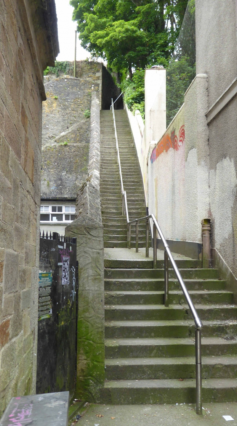
Long flight of steps. 1840s. Dressed granite steps except for
bottom flight which is mostly concrete; slurried rubble wall
on the left with apexed coping; 2 ramps lower down; rubble
walls near the top on the right. Straight flights of steps
with some landings.
Listing NGR: SW8070532861
External links are from the relevant listing authority and, where applicable, Wikidata. Wikidata IDs may be related buildings as well as this specific building. If you want to add or update a link, you will need to do so by editing the Wikidata entry.


Other nearby listed buildings
