Approximate Location Map
Large Map »
Latitude: 51.4073 / 51°24'26"N
Longitude: 0.858 / 0°51'28"E
OS Eastings: 598869
OS Northings: 171460
OS Grid: TQ988714
Mapcode National: GBR RSL.MRS
Mapcode Global: VHKJ8.TWGK
Plus Code: 9F32CV45+W6
Entry Name: 2, Warden Road
Listing Date: 30 June 1978
Grade: II
Source: Historic England
Source ID: 1273127
English Heritage Legacy ID: 446130
ID on this website: 101273127
Location: Eastchurch, Swale, Kent, ME12
County: Kent
District: Swale
Civil Parish: Eastchurch
Built-Up Area: Eastchurch
Traditional County: Kent
Lieutenancy Area (Ceremonial County): Kent
Tagged with: Building
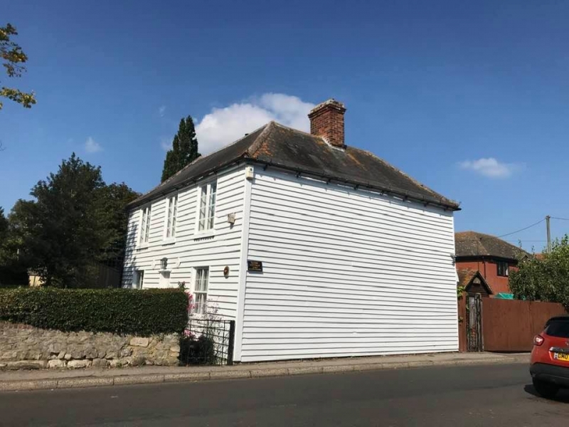
WARDEN ROAD
1.
5282
(West Side)
Eastchurch, Sheerness
No 2
TQ 97 SE 13/143
II
2.
C18. 2 storeys, weatherboarded, with hipped Welsh slate roof. 3 windows to
1st floor, C19 casements, the ground floor having sashes without glazing bars.
Wood plain door. 2 windows to rear elevation, hung sashes with glazing bars.
Listing NGR: TQ9886971460
External links are from the relevant listing authority and, where applicable, Wikidata. Wikidata IDs may be related buildings as well as this specific building. If you want to add or update a link, you will need to do so by editing the Wikidata entry.


Other nearby listed buildings
