Approximate Location Map
Large Map »
Latitude: 50.8093 / 50°48'33"N
Longitude: -0.6168 / 0°37'0"W
OS Eastings: 497549
OS Northings: 101992
OS Grid: SU975019
Mapcode National: GBR FJQ.0WB
Mapcode Global: FRA 96LY.PHV
Plus Code: 9C2XR95M+P7
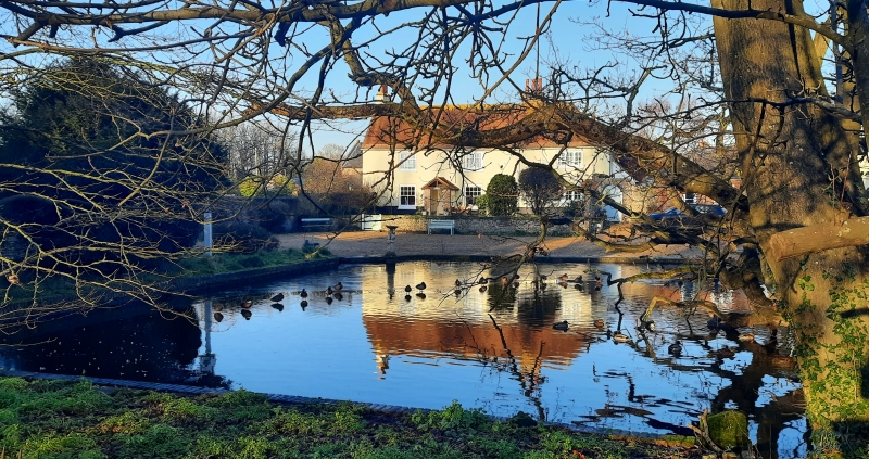
Entry Name: Hobbs Farmhouse
Listing Date: 5 June 1958
Grade: II
Source: Historic England
Source ID: 1274594
English Heritage Legacy ID: 414759
ID on this website: 101274594
Location: Bilsham, Arun, West Sussex, BN18
County: West Sussex
District: Arun
Civil Parish: Yapton
Built-Up Area: Yapton
Traditional County: Sussex
Lieutenancy Area (Ceremonial County): West Sussex
Church of England Parish: Yapton St Mary
Church of England Diocese: Chichester
Tagged with: Farmhouse
SU 90SE YAPTON BILSHAM ROAD
15/362
5.6.58 Hobbs Farmhouse
II
C18. Two storeys. Three windows. Stuccoed. Tiled roof. Glazing bars intact.
Modern gabled porch.
Listing NGR: SU9754901992
External links are from the relevant listing authority and, where applicable, Wikidata. Wikidata IDs may be related buildings as well as this specific building. If you want to add or update a link, you will need to do so by editing the Wikidata entry.


Other nearby listed buildings
