Approximate Location Map
Large Map »
Latitude: 50.7018 / 50°42'6"N
Longitude: -1.2924 / 1°17'32"W
OS Eastings: 450063
OS Northings: 89372
OS Grid: SZ500893
Mapcode National: GBR 8BB.XQQ
Mapcode Global: FRA 8757.49C
Plus Code: 9C2WPP25+P2
Entry Name: 15, Sea Street
Listing Date: 1 February 1972
Grade: II
Source: Historic England
Source ID: 1276457
English Heritage Legacy ID: 309745
ID on this website: 101276457
Location: Little London, Isle of Wight, PO30
County: Isle of Wight
Civil Parish: Newport
Built-Up Area: Newport
Traditional County: Hampshire
Lieutenancy Area (Ceremonial County): Isle of Wight
Church of England Parish: Newport St Thomas
Church of England Diocese: Portsmouth
Tagged with: Building
SEA STREET
1.
1445
(North East Side)
SZ 5089 SW 3/102 No 15
II GV
2.
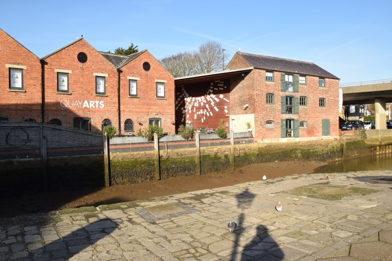
Warehouse in painted brick with timber-hung ends. 2 storeys, 6 windows
and hatches. Old tile roof. Stone plinth. Round-headed windows with
ornamental iron grilles. Mid C18.
Nos 15 & 19 with the 2 blocks the other side of the river and adjacent
to the viaduct form a group
Listing NGR: SZ5006389372
External links are from the relevant listing authority and, where applicable, Wikidata. Wikidata IDs may be related buildings as well as this specific building. If you want to add or update a link, you will need to do so by editing the Wikidata entry.


Other nearby listed buildings
