Approximate Location Map
Large Map »
Latitude: 51.5944 / 51°35'39"N
Longitude: -0.3805 / 0°22'49"W
OS Eastings: 512278
OS Northings: 189640
OS Grid: TQ122896
Mapcode National: GBR 4D.BR3
Mapcode Global: VHFT0.C661
Plus Code: 9C3XHJV9+QR
Entry Name: 33-35, High Street
Listing Date: 9 July 1968
Grade: II
Source: Historic England
Source ID: 1286059
English Heritage Legacy ID: 202096
ID on this website: 101286059
Location: Pinner, Harrow, London, HA5
County: London
District: Harrow
Electoral Ward/Division: Pinner
Parish: Non Civil Parish
Built-Up Area: Harrow
Traditional County: Middlesex
Lieutenancy Area (Ceremonial County): Greater London
Church of England Parish: St John Pinner
Church of England Diocese: London
Tagged with: Building
HIGH STREET
1.
5016
(north side)
Pinner
Nos 33 and 35
TQ 1289 NW 12/9 9.7.68
II GV
2.
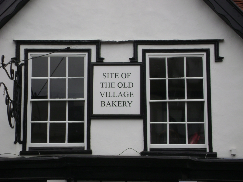
C16. Timber framed with 2 cross wings. Gabled outer bays, with eaves between and
tiled roof. Intrusive C19 shopfronts. Half-timbering still showing along one side.
No 33 contains bakers oven. (RCHM).
Listing NGR: TQ1227889640
External links are from the relevant listing authority and, where applicable, Wikidata. Wikidata IDs may be related buildings as well as this specific building. If you want to add or update a link, you will need to do so by editing the Wikidata entry.


Other nearby listed buildings
