Approximate Location Map
Large Map »
Latitude: 50.7029 / 50°42'10"N
Longitude: -3.2229 / 3°13'22"W
OS Eastings: 313737
OS Northings: 89967
OS Grid: SY137899
Mapcode National: GBR P8.WC9C
Mapcode Global: FRA 4747.26P
Plus Code: 9C2RPQ3G+5R
Entry Name: Bridge
Listing Date: 12 October 1951
Grade: II
Source: Historic England
Source ID: 1287481
English Heritage Legacy ID: 402280
ID on this website: 101287481
Location: Fortescue, East Devon, EX10
County: Devon
District: East Devon
Civil Parish: Sidmouth
Built-Up Area: Sidmouth
Traditional County: Devon
Lieutenancy Area (Ceremonial County): Devon
Church of England Parish: Sidbury with Sidford
Church of England Diocese: Exeter
1.
1633
SY 1389
6/173
12.10.51
SIDFORD
Bridge
II
2.
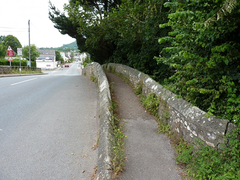
Said to date from the C12. Parapets of pack horse bridge were left in
position when the road and bridge were widened in 1930, and the footpath
now runs between them. The old bridge has 2 segmental arches, the new
concrete bridge has been built against it on the south.
Listing NGR: SY1373789967
External links are from the relevant listing authority and, where applicable, Wikidata. Wikidata IDs may be related buildings as well as this specific building. If you want to add or update a link, you will need to do so by editing the Wikidata entry.


Other nearby listed buildings
